
What is recorded here
From the National Monuments Service (Archaeological Survey of Ireland) record CO111-051
Places near here
Photo credits
- Maker not stated on source page, commons.wikimedia.org
- National Inventory of Architectural Heritage
- Maker not stated on source page, www.dreamstime.com
- Maker not stated on source page, www.lonelyplanet.com
- Maker not stated on source page, www.flickr.com
- Maker not stated on source page, www.gettyimages.co.uk
- Maker not stated on source page, www.castlepedia.org
 Church in RathdroughtChurch · 486 yd
Explorer Tom Church in Rathdrought is playing hide-and-seek so well I can’t even find it myself. An old map says it was there, but…
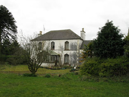 Cloghane HouseHouse · 1703 yd
Explorer Tom Cloghane House in Cloghane is showing off its pointed arches like it just won a beauty pageant. It’s got that fancy…
 TullylandFarm house · 1.0 mi
Explorer Tom Tullyland in Tullyland is keeping its historic fabric safe with timber sliding sash windows that probably squeak every…
 Stone CircleAnomalous stone group · 1.2 mi
Explorer Tom Stone Circle in Tullyland is actually just three upright stones that used to be called a cromlech. They’re spaced out…
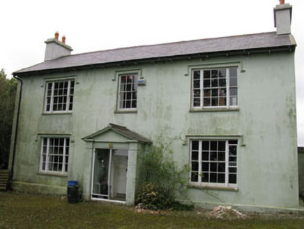 Knocknagappul HouseHouse · 1.6 mi
Explorer Tom Knocknagappul House sits high up and commands the landscape like it’s got a throne. The unusual layout suggests it grew…
 Fairy fort / earthen ringfort in KildarraFairy fort / earthen ringfort · 1.6 mi
Explorer Tom Kildarra’s rath is a complete mystery; recorded in 1942 but nobody can find it now. The landowner has no idea where it…
 CastleCastle, unclassified · 1.6 mi
Explorer Tom Knocknacurra Castle thinks tourists from Dublin are all just looking for a photo op before they head home to their…
 Kildarra HouseCountry house · 1.7 mi
Explorer Tom Kildarra House in Kildarra is a country house from 1860 that’s currently vacant and looking a bit lonely. It has…
 bridge1.8 mi
Explorer Tom The bridge in Cloghane uses stone lintels over piers, which is basically a rock version of a sandwich. It looks sturdy…
 Knoppoge WoodWood · 1.9 mi
Explorer Tom Knoppoge Wood in County Cork would absolutely flake out on a reality show because it thinks its own name is too fancy…
 Graveyard in BallinadeeGraveyard · 1.9 mi
Explorer Tom Graveyard in Ballinadee would review its visitors as 'mostly quiet, occasionally drunk, and never on time.' It’s been…
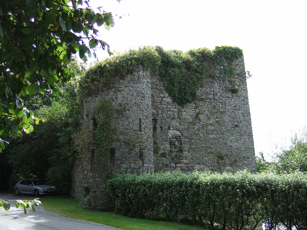 Poulnalong Castle (in Ruins)Castle, tower house · 2.7 mi
Explorer Tom Poulnalong Castle in Ship-Pool is perched on a steep bank above the Bandon River. It has a circular turret at the…
More archaeology and monuments in County Cork · All of County Cork

What do you know about this place?Tap to add a comment or ask a question