What is recorded here
On floor of Sullane Beg River valley, 90m S of river. Stones, aligned NE-SW, stand 1.5m apart; overall length is 4.1m. NE stone is 1.4m L, 0.7m T and 1.4m H. SW stone is 1.2m L, 0.75m T and 1.4m H. (O Nualláin 1988, 244, no. 102)
The above description is derived from the published 'Archaeological Inventory of County Cork. Volume 3: Mid Cork' (Dublin: Stationery Office, 1997). In certain instances the entries have been revised and updated in the light of recent research.
Date of upload/revision: 14 January 2009
Likely dating to the Bronze Age, this pair of standing stones may have functioned as a ritual or territorial marker. No specific folklore or detailed use is recorded for Galláin, Na Cúlacha.
The monument record does not grant public access. Check the route and ask the landowner before entering private land.
- What survives
- Recorded monument
Places near here
 Fulacht fia in Ceann DromaFulacht fia · 1060 yd
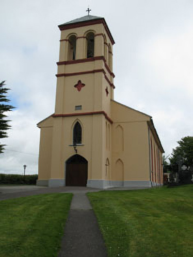 Séipéal Naomh Lachtáin [Saint Lachtáin's Catholic Church]church/chapel · 1202 yd
 Wedge tomb in Ceann DromaWedge tomb · 1534 yd
 IndicatedHouse, indeterminate date · 1.0 mi
 Port Ban Nature Reserve, Irish Wildlife TrustNature reserve · 2.1 mi
 Carrigaphooca CastleCastle · 2.8 mi
 European long distance path E8 - part IrelandWalking route · 3.2 mi
 Kealaboane WoodWood · 3.3 mi
 Dundareirke Castle (in Ruins)Castle, tower house · 3.4 mi
 Cnoc na nUlán (mullach thoir)Mountain / peak · 4.3 mi
 KnockullaneMountain / peak · 4.4 mi
 Sli Gaeltacht MuscraiWalking route · 5.6 mi