What is recorded here
On W side of road, at N end of Doneraile. Wedge-shaped graveyard (c. 60m N-S; c. 100m E-W at N end and c. 60m E-W at S end), enclosed by stone wall; entrance gateway to E. To N of centre is C of I parish church of Doneraile (14716). Graveyard still used; burial area mainly to S and E of church. Many 18th- and 19th-century headstones and some chest tombs; Grove White lists most of these (1905-25, vol. 3, 37; 1892-4b; 1895-7) and notes families buried in vaults under church. Low uninscribed grave markers throughout, though some recently displaced. Uncertain if this site of church of 'Dunrayl' listed in Papal Taxation of 1291; Shine (1989, 46) suggests this was probably located in nearby Oldcourt graveyard (14613). Present site may date to 1633 when Sir William St Leger built church adjacent to his residence (14304). (Power and Sleeman 1992)
The above description is derived from the published 'Archaeological Inventory of County Cork.
On W side of road, at N end of Doneraile. Wedge-shaped graveyard (c. 60m N-S; c. 100m E-W at N end and c. 60m E-W at S end), enclosed by stone wall; entrance gateway to E. To N of centre is C of I parish church of Doneraile (14716). Graveyard still used; burial area mainly to S and E of church. Many 18th- and 19th-century headstones and some chest tombs; Grove White lists most of these (1905-25, vol. 3, 37;…
From the National Monuments Service (Archaeological Survey of Ireland) record CO017-108001
The monument record does not grant public access. Check the route and ask the landowner before entering private land.
- What survives
- Recorded monument
Places near here
Photo credits
- Dave Kelly, Geograph · Creative Commons Attribution-ShareAlike 2.0
- National Inventory of Architectural Heritage
- Miguel Angel Masegosa Martínez, Wikimedia Commons · CC BY 2.0
- Sitomon, Wikimedia Commons · CC BY-SA 2.0
- David P Howard, Geograph · CC BY-SA 2.0
- Mike Searle, Geograph · CC BY-SA 2.0
- Fattonyni, Wikimedia Commons · CC BY-SA 3.0
 Saint Mary’s Church (Doneraile)Church/chapel · 23 ydDoneraile Castle (Site of)Castle, unclassified · 106 yd
 bridge190 yd
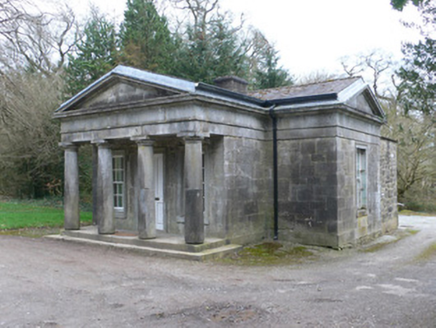 Doneraile CourtGate lodge · 271 yd
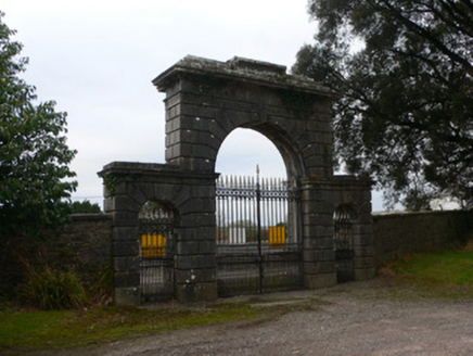 Doneraile CourtGates/railings/walls · 295 yd
 Sweet Chestnut405 ydEnclosure in Demesne (fermoy By.)Enclosure · 539 yd
 European Yew647 ydSmith's WellSpring · 751 yd
 TowerDovecote · 3.6 mi
 Wallstown CastleCastle · 3.8 mi
 Killavullen CavesCave · 5.7 mi
More archaeology and monuments in County Cork · All of County Cork
What do you know about this place?