What is recorded here
In 2004 this monument [Magheracar 2] was fully excavated by Brian O Donnchadha & Rob Lynch of I.A.C. Ltd under excavation licence number 04E0098 in advance of the N15 Bundoran-Ballyshannon By-Pass. The following summary of the excavation is taken from the NRA archaeological database : The site is located on a south-facing slope of low-lying shallow valley. Area of boggy pasture, and underlying geology of poorly drained stony silty clay. This site consisted of a linear earthwork (DG109-008-) and a possible furnace. The linear earthwork is located immediately to the S of the furnace. Furnace A feature was made up of three distinctive components has been interpreted as a possible furnace. The furnace was defined by a linear cut into natural subsoil orientated east-west for a distance of around 5.3 m. The three characteristic components of this furnace were an area of burning (1) at the elevated eastern end of the furnace. This section of the furnace contained a charcoal-rich fill, with heat-affected mudstone. The central area of built stones (2) was steep-sided but irregularly so as to accommodate the stones (0.1-0.47 m by 0.07-0.34 m by 0.15-0.12 m). The possible drainage gully (3) angled slightly eastwards away from the main body of the feature. Charcoal analysis of oak (Quercus sp.) and birch (Betula sp.) from furnace. The furnace was dated to the late Iron Age/ Early medieval period.
The monument record does not grant public access. Check the route and ask the landowner before entering private land.
- What survives
- Recorded monument
Places near here
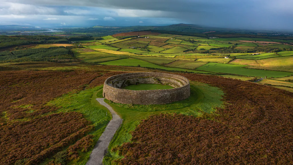 Destroyed Ardfarn Stone RingfortFairy fort / stone ringfort · 434 yd
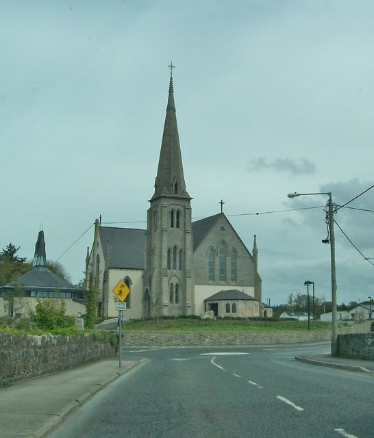 Catholic Church of Our Lady Star of the Seachurch/chapel · 689 yd
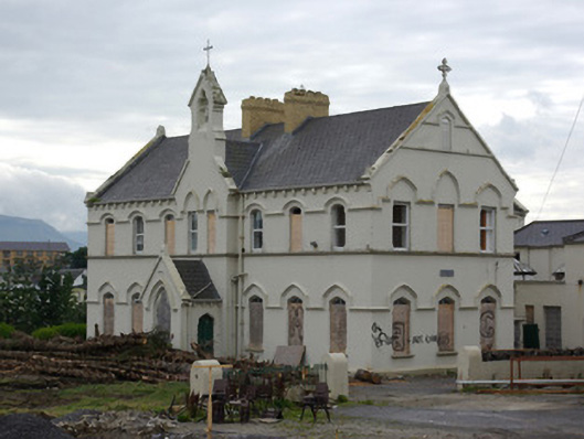 Saint Louis's Conventconvent/nunnery · 854 yd
 Drumacrin Coastal Promontory FortPromontory fort, coastal · 1253 yd
 BundoranOfficial bathing water · 1421 yd
 Wishing ChairHeritage attraction · 1.3 mi
 Fairy BrigesHeritage attraction · 1.3 mi
 Finner Old GraveyardGraveyard · 1.4 mi
 Cliffs by BundoranPublicly named cliff or headland · 1.5 mi
 Bundrowes Castle (Site of)Castle, unclassified · 1.9 mi
 Lareen BayBay · 2.1 mi
 Bawn in DuncarbryBawn · 2.2 mi