
What is recorded here
An L-shaped promontory now largely built over. A fosse 3' deep containing habitation deposits as well as other material was recorded here. (O. Davies).
The above description was derived from the 'Archaeological Survey of County Donegal. A description of the field antiquities of the County from the Mesolithic Period to the 17th century.' Compiled by: Brian Lacey with Eamon Cody, Claire Cotter, Judy Cuppage, Noel Dunne, Vincent Hurley, Celie O'Rahilly, Paul Walsh and Seán Ó Nualláin (Lifford: Donegal County Council, 1983). In certain instances the entries have been revised and updated.
Date of upload: 22 September 2008
Drumacrin Coastal Promontory Fort, Bundoran is a likely early-medieval coastal promontory fort, characterized by an L-shaped enclosure and a fosse containing habitation deposits. While specific folklore is not recorded, such sites were often associated with local legends of hidden peoples or ancient warriors in Irish tradition.
The monument record does not grant public access. Check the route and ask the landowner before entering private land.
- What survives
- Recorded monument
Places near here
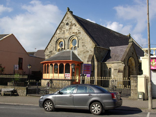 Campbell Memorial Methodist Churchchurch/chapel · 282 yd
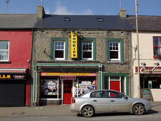 The Shell Houseshop/retail outlet, house · 283 yd
 BundoranOfficial bathing water · 354 yd
 Wishing ChairHeritage attraction · 1376 yd
 Fairy BrigesHeritage attraction · 1408 yd
 Church (Site of)Church · 1618 yd
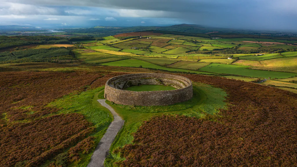 Destroyed Ardfarn Stone RingfortFairy fort / stone ringfort · 1686 yd
 Cliffs by BundoranPublicly named cliff or headland · 1.0 mi
 Finner Old GraveyardGraveyard · 1.2 mi
 Bundrowes Castle (Site of)Castle, unclassified · 1.6 mi
 Tullan StrandBeach / strand · 2.0 mi
 Bawn in DuncarbryBawn · 2.1 mi
Other information
Photo: Credit not shown in the picture search · Rights wording not checked; contact us if this picture should be removed