
What is recorded here
First identified in centre-line testing (00E0379) for the re-alignment of the N25 Wexford town to New Ross road (Elder and Tierney 2002), and completely excavated (00E0475) subsequently. The site is situated towards the top of a SW-facing slope. Two small pits, placed 0.12m apart and cut into the oxidised subsoil, were excavated. Both (diam. 0.27m; D 0.07m: dims. 0.25mx 0.2m; D 0.08m) contained metal slag in their fills. (Noonan 2002; Noonan and Johnston 2006)
Compiled by: Michael Moore
Date of upload: 8 November, 2012
The monument record does not grant public access. Check the route and ask the landowner before entering private land.
- What survives
- Recorded monument
Places near here
 Structure in BricketstownStructure · 783 yd
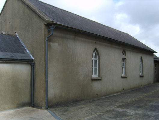 Saint Garvan's Catholic Churchschool · 954 yd
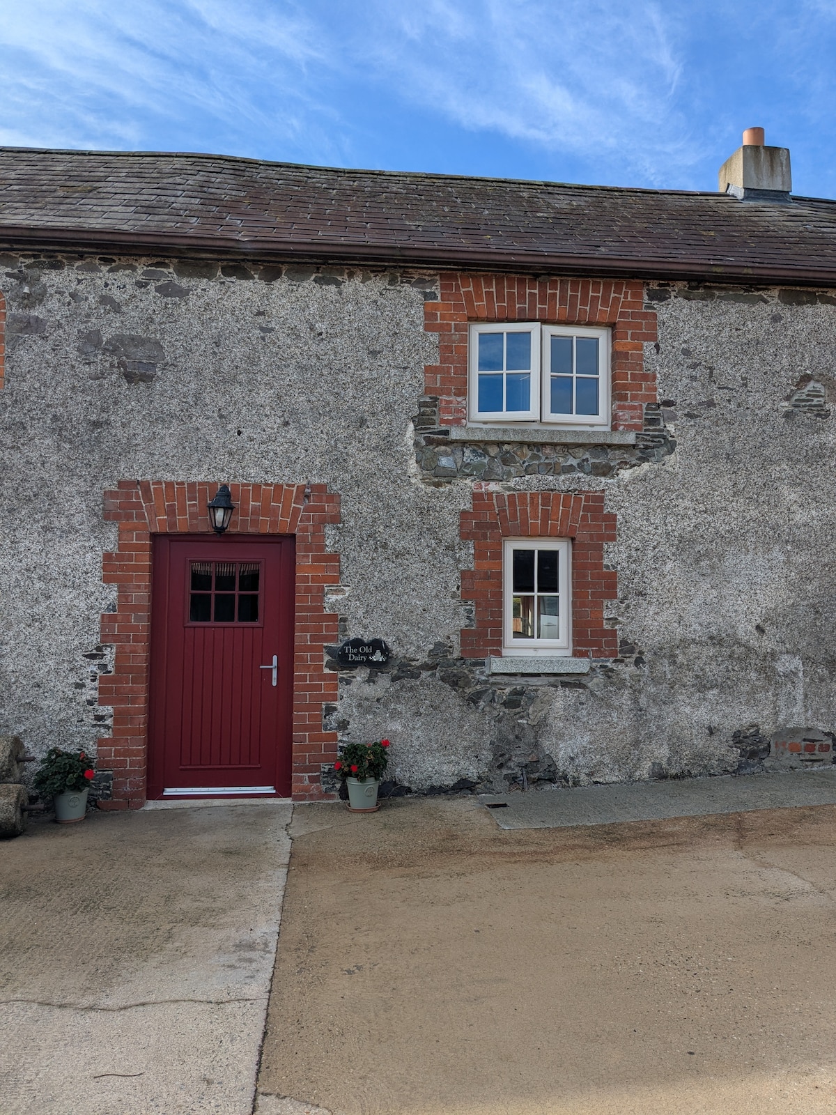 Hearth in BricketstownHearth · 1202 yd
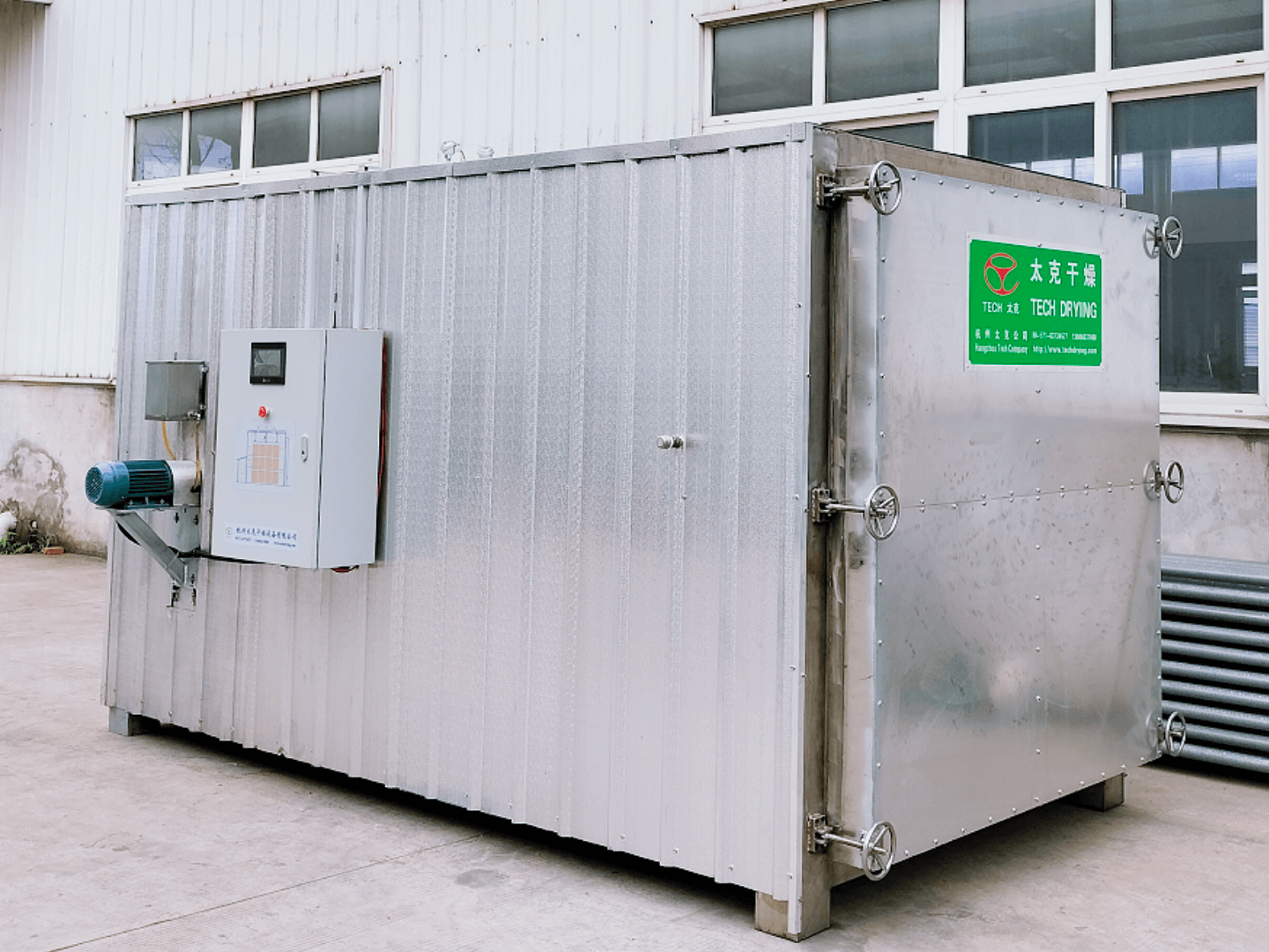 KilnKiln, corn-drying · 1361 yd
 Camaross HillMountain / peak · 2.2 mi
 Taghmon CastleCastle · 2.3 mi
 Bawn in Tracystown WestBawn · 2.5 mi
 Glenour MonumentMemorial · 3.3 mi
 Raheennahoon HillMountain / peak · 4.4 mi
 Celebrating 125 YearsMemorial · 4.6 mi
 Coolcliffe HouseRuins · 4.7 mi
 Carrig-On-BannowVisitor information · 8.3 mi
Other information
Photo: Credit not shown in the picture search · Rights wording not checked; contact us if this picture should be removed