
What is recorded here
'Site 12', Cherryville was identified during monitoring as a series of circular patches containing both charcoal and burnt clay. A large number of miscellaneous features were found nearby, spread out over 70m. The entire group was classified as Site 12, but the features are of different dates. When excavated (Thaddeus…
Read the whole record
From the National Monuments Service (Archaeological Survey of Ireland) record KD022-110
Places near here
Photo credits
- Maker not stated on source page, allthatsinteresting.com
- Maker not stated on source page, en.topwar.ru
- Maker not stated on source page, fity.club
- Maker not stated on source page, www.tripadvisor.co.uk
- Maker not stated on source page, www.boboandchichi.com
- Maker not stated on source page, www.pinterest.com
- Maker not stated on source page, www.irishexaminer.com
- National Inventory of Architectural Heritage
- Maker not stated on source page, www.flickr.com
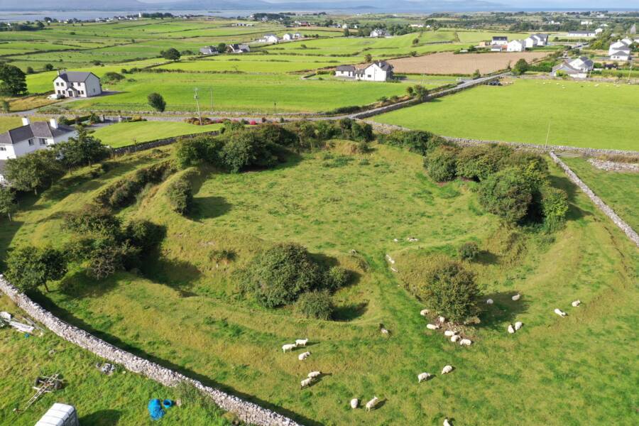 Fairy fort / ringfort in MooretownFairy fort / ringfort · 1427 yd
Explorer Tom This ringfort in Mooretown is having a dramatic feud with the nearest tree, which refuses to leave it alone. Only one…
 Enclosure in CrossmorrisEnclosure · 1578 yd
Explorer Tom Enclosure in Crossmorris caused a massive parish argument back in the day, mostly over whose turn it was to dig. It’s…
Enclosure in Knockshough GlebeEnclosure · 1.1 miExplorer Tom Enclosure in Knockshough Glebe has a hidden message in its stones if you squint hard enough and ignore the grass. It’s…
 CastleCastle, tower house · 1.1 mi
Explorer Tom Castle in Silliothill started when two lads bet each other they could find a castle in a field with no clue where it…
 Lackagh Castle (in Ruins)Castle, hall-house · 1.2 mi
Explorer Tom Lackagh Castle in Lackagh More has had so many names it’s legally required to answer to any of them. It’s an L-shaped…
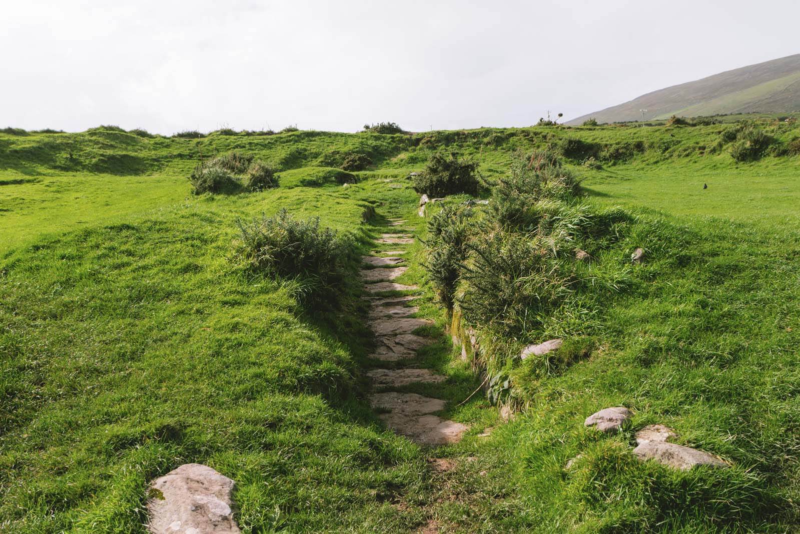 Fairy fort / earthen ringfort in GreyabbeyFairy fort / earthen ringfort · 1.4 mi
Explorer Tom A prophecy said this Greyabbey fort would fly to space, but it got stuck on the hillside instead. The cows below are…
 Knavistown GraveyardGraveyard · 1.7 mi
Explorer Tom Knavistown Graveyard survived a storm that flattened the church steeple but left every single headstone standing tall.…
 Fairy fort / earthen ringfort in RathmuckFairy fort / earthen ringfort · 1.7 mi
Explorer Tom Fairy fort / earthen ringfort in Rathmuck claims its unlikely celebrity friend is a very confused hedgehog. It’s…
 bridge1.9 mi
Explorer Tom Knockshough Glebe bridge is where rabbits hold council meetings to decide which trains are rude enough to stop. The…
 Kilcumney HouseHouse · 1.9 mi
Explorer Tom Kilcumney House bragged about surviving a storm where the roof nearly flew off, but it looked fine afterwards. It’s a…
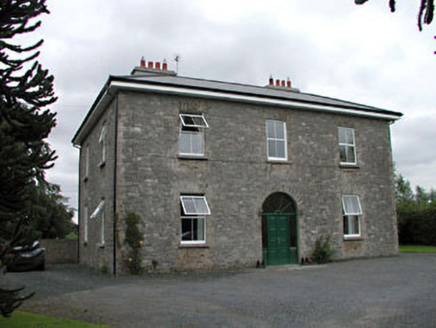 Oghill HouseFarm house · 1.9 mi
Explorer Tom Oghill House in Oghil has a fairy dispute over parking rights that involves a tricycle and a very angry turnip. Pick a…
 White Abbey GraveyardGraveyard · 1.9 mi
Explorer Tom White Abbey Graveyard is run by a very aggressive terrier who thinks he’s the vicar. He barks at everyone and demands a…
More archaeology and monuments in County Kildare · All of County Kildare

What do you know about this place?Tap to add a comment or ask a question