What is recorded here
On a very gentle NW-facing pasture slope. Shown on the 1st ed. (1838) of the OS 6-inch map as a circular area (est. max. diam. c. 35m) enclosed by a bank. Only a very slightly curving arc of bank (int. H 0.7m; Wth 2.6m; ext H 0.6m) at NE survives, and has been planted with a hedge and reused as a field boundary. A farmyard and paddock occupy the N limits.
Compiled by: Gearóid Conroy
Date of upload: 30 August 2012
The monument record does not grant public access. Check the route and ask the landowner before entering private land.
- What survives
- Recorded monument
Places near here
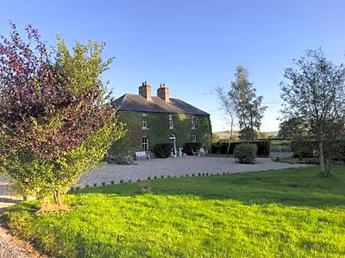 Enclosure in FennorEnclosure · 870 yd
 Enclosure in Grangebeg (kildangan Ed)Enclosure · 1083 yd
 Church (in Ruins)Church · 1.5 mi
 Site of CastleCastle, unclassified · 1.7 mi
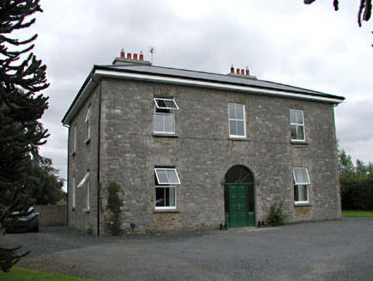 Oghill Housefarm house · 1.8 mi
 Sitka SpruceSitka Spruce · 1.9 mi
 Bawn in Lackagh BegBawn · 1.9 mi
 Horse MuseumMuseum · 2.1 mi
 Japanese GardensHeritage attraction · 2.2 mi
 Dawn RedwoodDawn Redwood · 2.2 mi
 Bithia Mary CrokerMemorial · 5.7 mi
 Bog Lake WalkWalking route · 9.9 mi