
What is recorded here
Prominently located at the E end of a pasture ridge with panoramic views N-E-SSE. A very large circular area (int. diams. 95m E-W; 94m N-S) is enclosed by a low broad, earthen bank (int. H 0.2-0.5m; Wth 3.4-6m; ext H 0.2-1.1m) which is almost dug away and replaced by a straight modern field bank at NW, and which appears to be constructed on a berm (Wth 3.6m) along the N. Opposing gaps at E (Wth 5.2m) and WSW (Wth 4m) may be enlarged original entrances. The interior has been dug out (D 1m) SE-S-SW, and there is a smaller dug out area in the NE sector.
Compiled by: Gearóid Conroy
Date of upload: 30 August 2012
The monument record does not grant public access. Check the route and ask the landowner before entering private land.
- What survives
- Recorded monument
Places near here
 Enclosure in CherryvilleEnclosure · 1639 yd
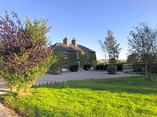 Enclosure in FennorEnclosure · 1738 yd
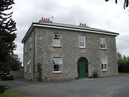 Oghill Housefarm house · 1.2 mi
 Church (in Ruins)Church · 1.4 mi
 Site of CastleCastle, unclassified · 1.5 mi
 Bawn in Lackagh BegBawn · 1.6 mi
 Sitka SpruceSitka Spruce · 2.5 mi
 Brookfield WoodWood · 2.6 mi
 Horse MuseumMuseum · 2.7 mi
 Japanese GardensHeritage attraction · 2.8 mi
 Bithia Mary CrokerMemorial · 5.7 mi
 Bog Lake WalkWalking route · 9.3 mi
Other information
Photo: Credit not shown in the picture search · Rights wording not checked; contact us if this picture should be removed