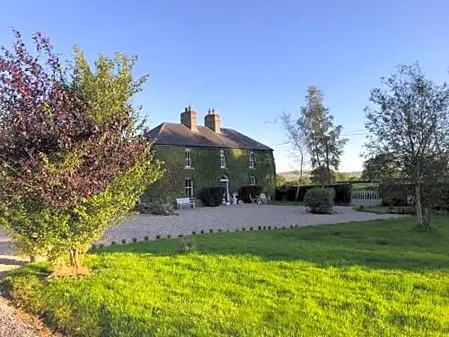
What is recorded here
Shown on the OS 25-inch map (www.osi.ie) as a D-shaped area (est. diam. c. 45m NE-SW) with a straight SW side (est. L c. 65m) enclosed by a bank, with a broad outer fosse or berm (est. max. Wth c. 10m at W), and by a second, outer bank which appears also to be used as a field boundary, and which encloses a rectangular area (est. max. L c. 80m ESE-WNW; Wth c. 65m NNE-SSW). Reported to have been levelled 1954. No visible surface traces survived when inspected in 1972 (SMR file).
Compiled by: Gearóid Conroy
Date of upload: 30 August 2012
A local fairy fort (ringfort/rath); wider significance not recorded.
The monument record does not grant public access. Check the route and ask the landowner before entering private land.
- What survives
- Recorded monument
Places near here
 Enclosure in Grangebeg (kildangan Ed)Enclosure · 1738 yd
 Enclosure in CherryvilleEnclosure · 1.4 mi
 Site of CastleCastle, unclassified · 1.5 mi
 Sitka SpruceSitka Spruce · 1.6 mi
 Grey Abbey (in Ruins)Religious house, Franciscan friars · 1.7 mi
 Church (in Ruins)Religious house, Knights Hospitallers · 1.8 mi
 Horse MuseumMuseum · 1.8 mi
 Japanese GardensHeritage attraction · 1.9 mi
 Dawn RedwoodDawn Redwood · 1.9 mi
 Tully Ho.Castle, unclassified · 1.9 mi
 Bithia Mary CrokerMemorial · 6.2 mi
 Holy well in Brallistown CommonsHoly well · 1.6 mi
Other information
Photo: Credit not shown in the picture search · Rights wording not checked; contact us if this picture should be removed