What is recorded here
Mairi and Daemien knew the western quadrant of the possible bivallate rath on Silliothill. They measured the inner earthen bank, the deep outer fosse and the faint second bank before leaving the eastern part untouched. The completed drawing showed a broken ring, not a finished fortress, and that uncertainty made the place more memorable than certainty would have.
On the moderately steep, E-facing slope of Silliothill, in pasture. The poorly preserved, overgrown remains of the W quadrant of a possible bivallate rath survive. The site is defined by a well-preserved, inner earthen bank (int. H 1.4m; Wth 1.9m; ext H 3.1m) and a broad, deep, outer fosse (Wth 4.7m; D 2m) SW-W-NW, with a second, outer bank (int H 2.4m; Wth 1.8m; ext H 0.1-0.5m)visible WSW-WNW. From NW-N-NE, the site appears to have been truncated and is defined by a later, straight scarp (H 1.7m). From NE-E-SW, a later field bank defines the interior. Two gaps, at NE (Wth 2.6m) and SW (Wth 3m), appear to be modern. Bradley et al. (1986 vol. 4, 437-8) suggest this monument may be associated with the deserted settlement of Silliothill borough (KD022-032----).
Compiled by: Gearóid Conroy
Date of upload: 22-12-2011
The monument record does not grant public access. Check the route and ask the landowner before entering private land.
- What survives
- Recorded monument
Places near here
 Grey Abbey (in Ruins)Religious house, Franciscan friars · 1376 yd
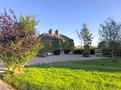 Enclosure in FennorEnclosure · 1558 yd
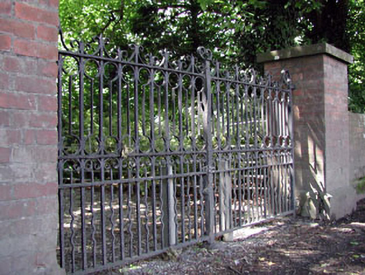 Abbey Villagates/railings/walls · 1601 yd
 Holy well in Brallistown CommonsHoly well · 1691 yd
 Sitka SpruceSitka Spruce · 1692 yd
 CastleCastle, motte · 1.1 mi
 Castle in ruinsCastle, Anglo-Norman masonry castle · 1.1 mi
 Horse MuseumMuseum · 1.1 mi
 Japanese GardensHeritage attraction · 1.2 mi
 Bee-bee treeBee-bee tree · 1.2 mi
 Bithia Mary CrokerMemorial · 5.9 mi
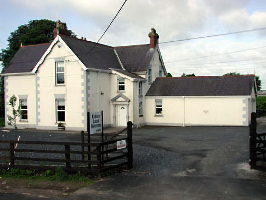 Valettahouse · 1643 yd