What is recorded here
In rough grazing with spring to N. Roughly kidney-shaped mound (L 14.4m; Wth 13.4m; H 1.45m). Cut by drainage channel on E side exposing burnt material in section. Opening to N (Wth 6m). A second fulacht fiadh (CO119-047001-) is located c. 30m to N along drainage channel.
The above description is derived from the published 'Archaeological Inventory of County Cork. Volume 1: West Cork' (Dublin: Stationery Office, 1992). In certain instances the entries have been revised and updated in the light of recent research.
Date of upload/revision: 14 January 2009
The monument record does not grant public access. Check the route and ask the landowner before entering private land.
- What survives
- Recorded monument
Places near here
 Childrens Burial Gd (Disused)Burial ground · 1083 yd
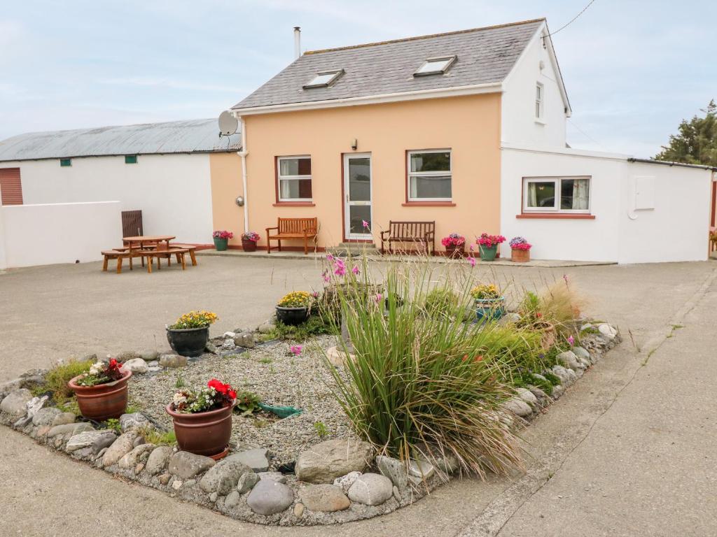 LisheenFairy fort / stone ringfort · 1119 yd
 Dromore Schoolschool · 1397 yd
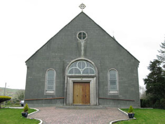 St. Joseph's Roman Catholic Churchchurch/chapel · 1703 yd
 Francis O'Neill PlaqueMemorial · 2.3 mi
 Ballyourane Castle (in Ruins)Castle, unclassified · 2.5 mi
 Moyny Bridge WalkWalking route · 2.8 mi
 Baugorm Castle (Site of)Castle, unclassified · 2.8 mi
 Trawlebane WalkWalking route · 3.0 mi
 Mullach MéiseMountain / peak · 3.7 mi
 Mount KidMountain / peak · 3.9 mi
 Seskin ViewViewpoint · 4.7 mi