
What is recorded here
In tillage. Marked 'Children's Burial Ground' on OS 6-inch map (1842). Shown as subrectangular area on all three eds. of OS 6-inch map. No visible surface trace.
The above description is derived from the published 'Archaeological Inventory of County Cork. Volume 1: West Cork' (Dublin: Stationery Office, 1992). In certain instances the entries have been revised and updated in the light of recent research.
Date of upload/revision: 14 January 2009
The monument record does not grant public access. Check the route and ask the landowner before entering private land.
- What survives
- Recorded monument
Places near here
 Wedge tomb in Kealanine (carbery W. (w.d) By.)Wedge tomb · 696 yd
 Fulacht FianFulacht fia · 954 yd
 Dromore Schoolschool · 1.2 mi
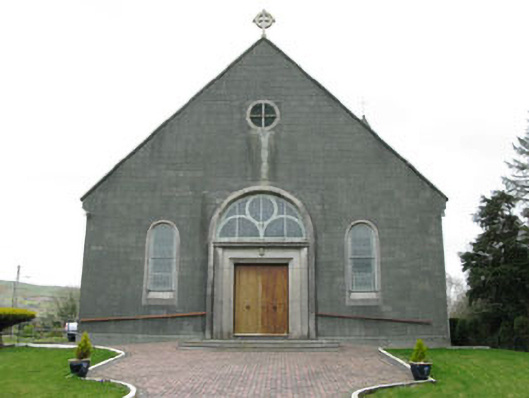 St. Joseph's Roman Catholic Churchchurch/chapel · 1.4 mi
 Francis O'Neill PlaqueMemorial · 2.3 mi
 Moyny Bridge WalkWalking route · 2.4 mi
 Delish Cascade WalkWalking route · 2.6 mi
 Castle DonovanCastle · 2.7 mi
 Castle Donovan (in Ruins)Castle, tower house · 2.7 mi
 Mullach MéiseMountain / peak · 3.1 mi
 Nowen Hill SW TopMountain / peak · 4.5 mi
 Snave StrandBeach / strand · 7.2 mi
Other information
Photo: Credit not shown in the picture search · Rights wording not checked; contact us if this picture should be removed