
What is recorded here
From the National Monuments Service (Archaeological Survey of Ireland) record CO030-123
Places near here
Photo credits
- National Inventory of Architectural Heritage
- Maker not stated on source page, en.wikipedia.org
- Maker not stated on source page, www.virtualtourist.com
- Maker not stated on source page, www.youtube.com
- Maker not stated on source page, www.nationalgeographic.com
- Maker not stated on source page, ie.pinterest.com
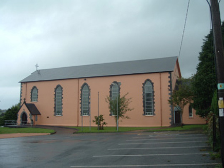 Church of the Presentation of Our LadyChurch/chapel · 1744 yd
Explorer Tom Church of the Presentation of Our Lady in Dernagree has been standing since 1838 and looks like it’s still trying to…
 Church in MilleenyleganeChurch · 1.0 mi
Explorer Tom Church in Milleenylegane has been ploughed so many times it's basically just a very confused field now. The two…
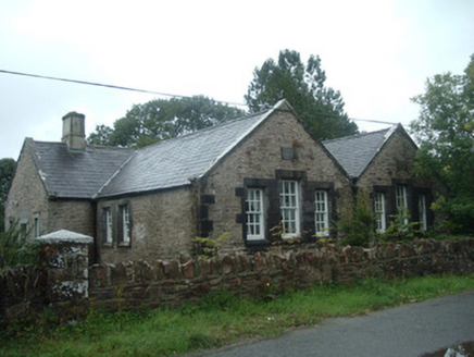 Old School HouseSchool · 1.1 mi
Explorer Tom Old School House in Dernagree has a cruciform plan, which means it looks like a cross if you squint hard enough. Bring…
 Church (Site of)Church · 1.4 mi
Explorer Tom Church in Gortageen is marked by two whitethorn trees on the south side, according to local legend. No visible surface…
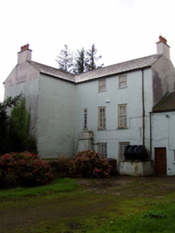 Flintfield HouseCountry house · 1.9 mi
Explorer Tom Flintfield House dates back to seventeen-thirty-nine and is still standing. It's got diminishing windows that make it…
 Fairy fort / earthen ringfort in ArdnageehaFairy fort / earthen ringfort · 1.9 mi
Explorer Tom Fairy fort / earthen ringfort in Ardnageeha is showing up to the party looking a bit deflated, like it forgot to…
 Ardnageeha HouseHouse · 1.9 mi
Explorer Tom Ardnageeha House is quietly humming its favourite song, which I’m pretty sure is just the wind getting stuck in the…
 Duarrigle CastleCountry house · 2.1 mi
Explorer Tom Duarrigle Castle is ruined because the map makers got the ravine completely wrong every single time they tried. The…
 Charles's BridgeBridge · 2.2 mi
Explorer Tom Charles's Bridge is all about round arches and sandstone cutwaters that look very fancy. It’s been carrying traffic…
 Charless BridgeBridge · 2.2 mi
Explorer Tom Charless Bridge over the Blackwater has five arches, but one cutwater is bigger than the rest, basically showing off to…
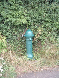 water pump3.2 mi
Explorer Tom Water pump in Mullaghroe North has been standing there since the 1880s, looking very Victorian about it. It’s a…
 Standing stone in Knockduff Upper (duhallow By., Cullen Par.)Standing stone · 3.4 mi
Explorer Tom Standing stone in Knockduff Upper was recorded by Broker as three feet high and about a ton weight. It broke in 1934…
More archaeology and monuments in County Cork · All of County Cork

What do you know about this place?Tap to add a comment or ask a question