What is recorded here
In rough grazing, on the N bank of a stream. The remains of a horseshoe-shaped mound (7m E-W; 5m N-S; H 0.5m) of heat-shattered stones and charcoal-enriched soil. The opening (Wth 3.7m) faces S. Both of the gorse-covered arms of the fulacht fia rise to a height of 0.5m and decrease in height towards the N side, which is largely eroded and enveloped in bog. Another fulacht fia (CO116-029----) lies c. 60m to the NE.
The above description is derived from 'The Archaeological Inventory of County Cork. Volume 5' (Dublin: Stationery Office, 2009).
Date of upload: 22 December 2009
The monument record does not grant public access. Check the route and ask the landowner before entering private land.
- What survives
- Recorded monument
Places near here
 Settlement cluster in Park (bear By.)Settlement cluster · 311 yd
 Enclosure in Rossmackowen CommonsEnclosure · 973 yd
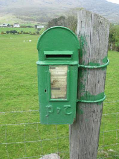 post boxpost box · 1223 yd
 Hungry HillMountain / peak · 1.0 mi
 Holly HillMountain / peak · 1.3 mi
 Mass-house in ShanacoumhaMass-house · 1.7 mi
 TrawnablahaBeach / strand · 1.8 mi
 Mare's Tail WaterfallViewpoint · 1.9 mi
 Loughure IslandIslet · 2.5 mi
 Turk IslandIslet · 2.5 mi
 Rerrin LoopWalking route · 2.6 mi
 Beara WayWalking route · 3.7 mi