What is recorded here
Located on a level landscape. Archaeological testing (12E0023) by M. Ó Droma of a large area (c. 1.4 ha) for the purposes of a proposed development revealed evidence of a fulacht fia (excavations.ie 2012:472). In Area 1 (dims 30m x 20m) a denuded horseshoe-shaped mound of broken and burnt stone (dims 13m x 6m; D 0.1m) overlay a rectangular trough (dims 3m x 1m) filled with peat and heat-affected stone which was situated between the horns of the mound. In addition there were at least three pits (diam. 0.6-1m) filled largely with heat-shattered stone within 5m of the trough. A second spread of burnt stone and charcoal (dims 7m x 4m) located 9m WNW of the fulacht fia was accompanied by another pit (diam. 1m) and could constitute a second fulacht fia. A magnetometry survey (12R0045) by J. Bonsall (2015) that took place ahead of testing recorded numerous archaeological features, particularly an enclosure (ME009-116----) but evidence for the fulacht fia was quite weak in the magnetometry data, possibly owing to the effects of the gley soils. (Bonsall 2015)
Compiled by: Michael Moore
The monument record does not grant public access. Check the route and ask the landowner before entering private land.
- What survives
- Recorded monument
Places near here
 Enclosure in OldcastleEnclosure · 39 yd
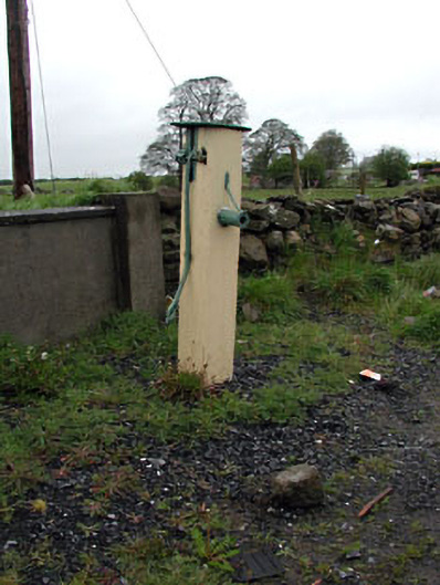 water pumpwater pump · 238 yd
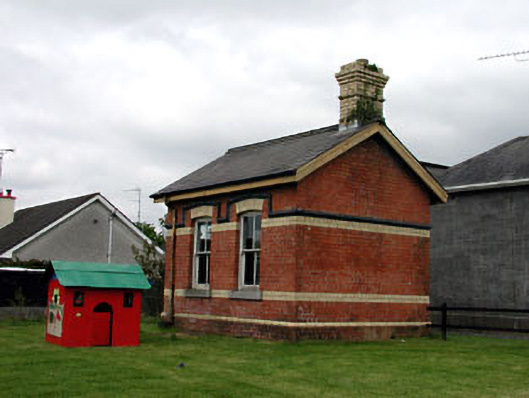 Oldcastle Railway Stationoutbuilding · 268 yd
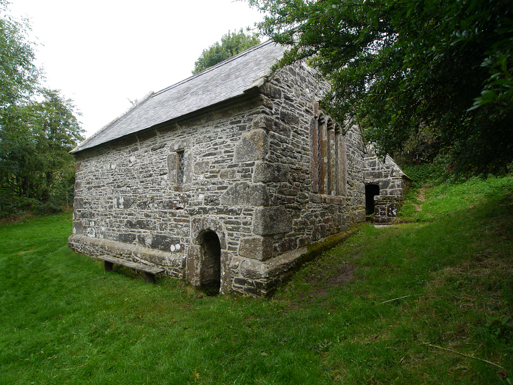 Holy WellHoly well · 956 yd
 Memorial CrossMemorial · 1073 yd
 Mount FortuneMountain / peak · 1481 yd
 Fennor LowerMountain / peak · 1.0 mi
 CastleCastle, unclassified · 1.5 mi
 C11Named rock · 2.3 mi
 LoughcrewMegalithic tomb cemetery · 2.5 mi
 Site of Old CastleCastle, unclassified · 2.7 mi
 Loughcrew Megalithic TombsHeritage attraction · 2.8 mi