
What is recorded here
Located on a level landscape. A magnetometry survey (12R0045) by J. Bonsall (2015) provided evidence of an enclosure (int. diam. c. 45m) defined by a fosse that is most prominent (Wth c. 5m) NW-NE but which can also be traced NE-SW while the remainder of its course is outside the development property to the W. There was slighter evidence of a second enclosure (diam. c. 35m) attached to the N. Archaeological testing (12E0023) of the area (c. 1.4 ha) by M. Ó Droma following the geophysical survey uncovered a number of pits, post-holes and linear features which may relate to the enclosure (excavations.ie 2012:472), but further details are not available.
Compiled by: Anne-Julie Lafaye
A local fairy fort (ringfort/rath); wider significance not recorded.
The monument record does not grant public access. Check the route and ask the landowner before entering private land.
- What survives
- Recorded monument
Places near here
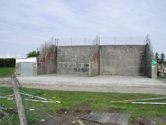 Saint Oliver Post Primary Schoolhandball alley · 249 yd
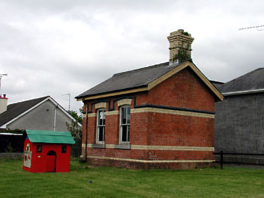 Oldcastle Railway Stationoutbuilding · 269 yd
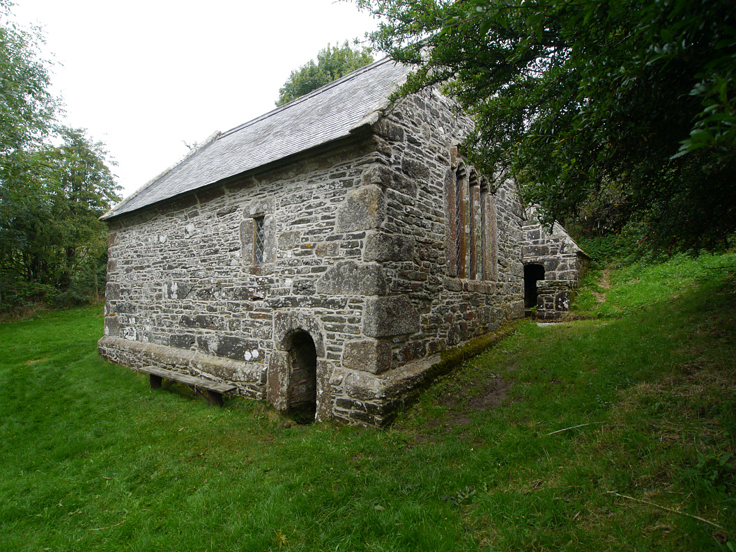 Holy WellHoly well · 917 yd
 Memorial CrossMemorial · 1070 yd
 Mount FortuneMountain / peak · 1471 yd
 Enclosure in KnockmacoonyEnclosure · 1623 yd
 Fennor LowerMountain / peak · 1758 yd
 CastleCastle, unclassified · 1.5 mi
 C11Named rock · 2.4 mi
 LoughcrewMegalithic tomb cemetery · 2.5 mi
 Site of Old CastleCastle, unclassified · 2.8 mi
 Loughcrew Megalithic TombsHeritage attraction · 2.8 mi
Other information
Photo: Credit not shown in the picture search · Rights wording not checked; contact us if this picture should be removed