What is recorded here
On a SW-facing slope in low-lying terrain sloping towards the Douglas River, in a reclaimed field. One of a number of fulachta fia (KK010-067001- c. 200m to NW; KK010-067003- c. 180m to the NW; KK010-067004- c. 150m to NW; KK010-067002- and KK010-067005- c. 100m to the W) in the immediate vicinity recorded by Prendergast (1955, 10). Two of these fulacta fia (KK010-067002- and KK010-067005-) were partially excavated by Prendergast (ibid. 1-3). This fulacht fia is not visible at ground level.
Compiled by: Jean Farrelly
Date of upload: 19 December 2018
The monument record does not grant public access. Check the route and ask the landowner before entering private land.
- What survives
- Recorded monument
Places near here
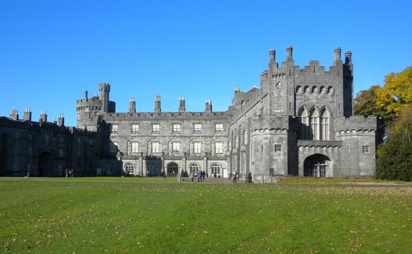 Enclosure in MuckaleeEnclosure · 574 yd
 Enclosure in Gaulstown (fassadinin By.)Enclosure · 1146 yd
 Edward BurkeMemorial · 1367 yd
 Galvin'sForest · 1.0 mi
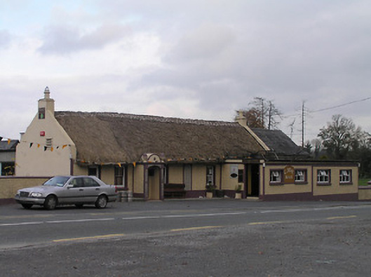 The Cavehouse · 1.1 mi
 CastleCastle, tower house · 1.2 mi
 Somerton Househouse · 1.3 mi
 Cave of DunmoreCave · 1.6 mi
 Dunmore CavesCave · 1.6 mi
 Mohil GraveyardArchaeological place · 1.8 mi
 Clogharinka Castle (in ruins)Castle, unclassified · 1.9 mi
 SycamoreSycamore · 2.4 mi