What is recorded here
Under a nineteenth-century limekiln on a gentle east-facing slope, two Bronze Age cooking pits stack like forgotten layers of a household ledger. The older pit holds a rectangular trough with corner post-holes, dated around 1120 to 840 BC, while the later one spread fire-cracked stones across a wider mound after peat marked a pause in use. Heat, water, food, ceremony or roadwork may have called them back; the stones remember only that people kept returning to the same warm place.
Situated on a gentle E-facing slope. First identified in centre-line testing (05E0983) for a new line of the N4 during 2005 (O’Connor et al. 2005, 33-5), and later fully resolved (E003301) as a part of Moher 1, which is an unmapped nineteenth century limekiln sitting over this Late Bronze Age fulacht fia, which in turn is sitting over an Early Bronze Age fulacht fia (LE037-011001-). A layer of peat (max. D 0.23m), indicating a hiatus in use, intervened between the mound of the earlier fulacht fia and a re-development in the Late Bronze Age. This mound (dims 8.6m x 7m) was a spread of decayed and fire-cracked stones overlying another layer of burnt stones which were less fragmented (dim. 3.2m; T 0.3m). This overlay a rectangular trough (dims 1.22m x 1.06m; D 0.14m), which was cut into the natural on three sides, but was open at SE. There was a post-hole in each corner of the trough, and one produced a C14 date of 2812 +- 46 (1120-840 BC), but timbers from the lining may have been removed after its final use. (Collins and O’Connor 2008, 16-17; Collins 2009)
Compiled by: Michael Moore
Date of upload: 9 January 2020
O’Connor, D. J., Marta Muniz Pérez and Sheelagh Conran 2005 N4 Dromod-Roosky Bypass. Advance Archaeological Works Contract Licence No. 05E0983 Preliminary Report. Unpublished, CRDS
The monument record does not grant public access. Check the route and ask the landowner before entering private land.
- What survives
- Recorded monument
Places near here
 Pigeon IslandIslet · 748 yd
 Roosky Bridgebridge · 961 yd
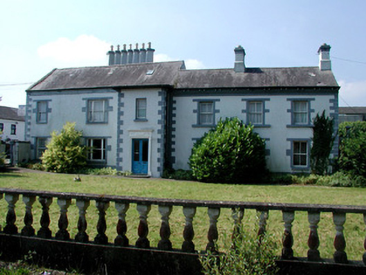 Mount Carmelhouse · 982 yd
 Rabbit IslandIslet · 1.1 mi
 Cavan & Leitrim RailwayMuseum · 1.4 mi
 PlatformPlatform, peatland · 1.8 mi
 StructureStructure, peatland · 1.8 mi
 Coarse IslandForest · 3.6 mi
 OratoryCastle, tower house · 4.2 mi
 Western HemlockWestern Hemlock · 4.4 mi
 CastleCastle, unclassified · 4.5 mi
 St. Barry's WellSpring · 4.5 mi