What is recorded here
A platform (L 5.25m; Wth 3.87m; D 0.52m), orientated NE‑SW, consisting of two layers. The upper layer was composed of horizontally laid timbers, roundwood (diam. 0.06‑0.16m), brushwood (diam. 0.015‑0.05m) and twigs, laid up to three pieces deep. The brushwood was concentrated in the SE portion and numerous pegs (diam. 0.015‑0.03m), set at angles of 70‑90°, were evident at NE and SW. The lower layer consisted of brushwood, roundwood and twigs laid up to two pieces deep. The brushwood was densely packed and, again, concentrated to the SE, while the roundwood was widely spaced to the NW. Twigs were laid both in dense beds and scattered throughout the larger elements. Nine pegs, at angles of 55‑80º, were set throughout this layer and were concentrated in its S half. Occasional small wood chips were also scattered throughout this layer. The wood was in a very good condition with woodworking indicated by a high number of metal‑cut toolmarks, and by both half and tangentially split timbers. Radiocarbon dating revealed date ranges of 750‑700 cal BC and 540‑390 cal BC (Beta‑217355). The platform lay 1m S of a togher (LF004‑003‑‑‑‑) and was 0.2m above another platform (LF004‑020‑‑‑‑) (Moore and O’Connor 2009a, 16‑17, EDC 1c).
Compiled by: Mary Tunney based on data kindly supplied by Caitríona Moore.
The attached image is copyright and uploaded courtesy of CRDS Ltd.
Date of upload: 26 August 2011
The monument record does not grant public access. Check the route and ask the landowner before entering private land.
- What survives
- Recorded monument
Places near here
 StructureStructure, peatland · 59 yd
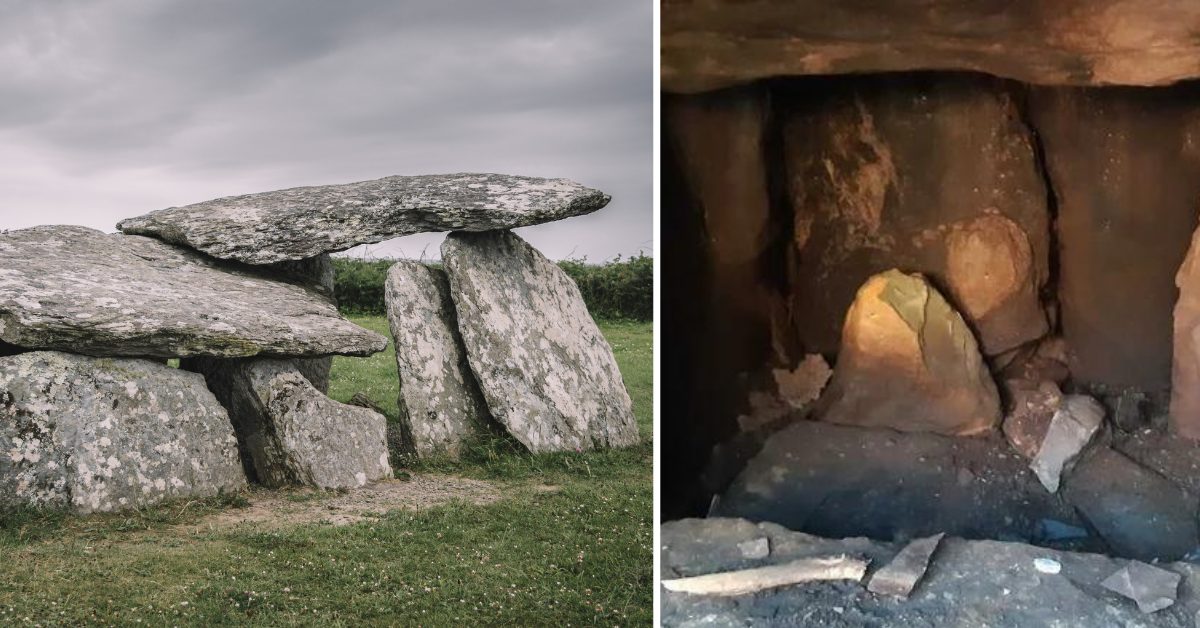 Wedge tomb in Clooneen (beirne)Wedge tomb · 1409 yd
 Church (in Ruins)Church · 1589 yd
 Rabbit IslandIslet · 1.2 mi
 Pigeon IslandIslet · 2.0 mi
 CastleCastle, unclassified · 2.7 mi
 St. Barry's WellSpring · 2.8 mi
 Cavan & Leitrim RailwayMuseum · 3.2 mi
 Bawn in Castleforbes DemesneBawn · 3.5 mi
 Lebanon CedarLebanon Cedar · 3.6 mi
 Common LimeCommon Lime · 3.9 mi
Other information
Photo: Credit not shown in the picture search · Rights wording not checked; contact us if this picture should be removed