What is recorded here
In tillage, on E-facing slope. Spread of burnt material (16.3m E-W; 14m N-S). Stream to E. Second fulacht fiadh (CO111-029----) c. 100m to W.
The above description is derived from the published 'Archaeological Inventory of County Cork. Volume 2: East and South Cork' (Dublin: Stationery Office, 1994). In certain instances the entries have been revised and updated in the light of recent research.
Date of upload/revision: 14 January 2009
The monument record does not grant public access. Check the route and ask the landowner before entering private land.
- What survives
- Recorded monument
Places near here
 Dunderrow Househouse · 1064 yd
 Grave YdGraveyard · 1159 yd
 Templeavara (in Ruins)Church · 1165 yd
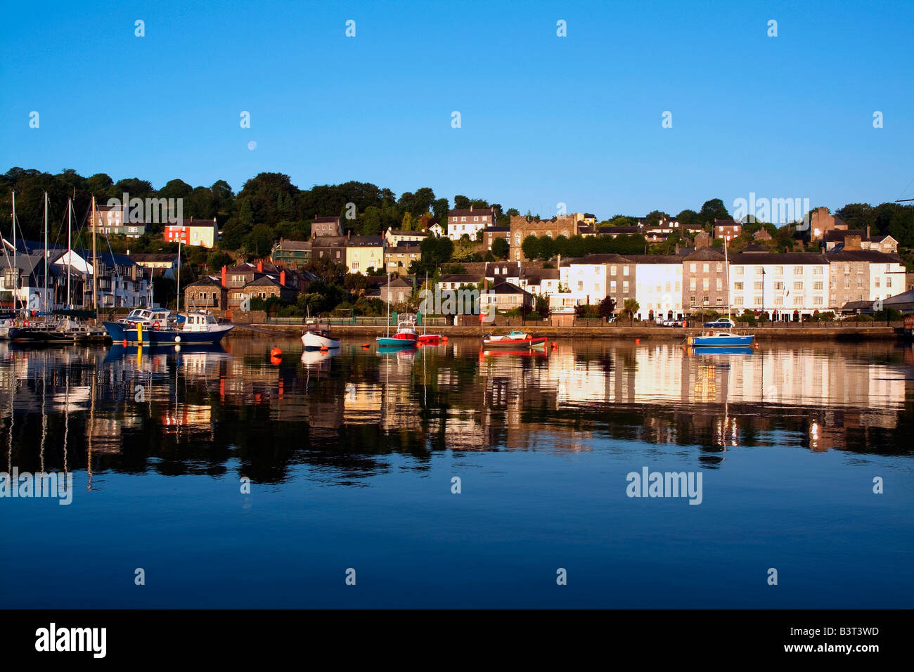 IndicatedEnclosure · 1192 yd
 Leighmoney Castle (Site of)Castle, unclassified · 1374 yd
 Dunderrow WoodWood · 1573 yd
 Battlefield in Ardcloyne,ballinacurra,ballythomas East,ballythomas West,ballyvrin Lower,ballyvrin Upper,horsehill More (north),horsehill More (south)Battlefield · 1.2 mi
 Short Castle (Site of)Castle, unclassified · 1.2 mi
 Shippool WoodWood · 1.3 mi
 Marie LouiseWreck · 1.6 mi
 Olympic MemorialMemorial · 1.8 mi
 Ballinadee Millenium ProjectPicnic place · 1.9 mi