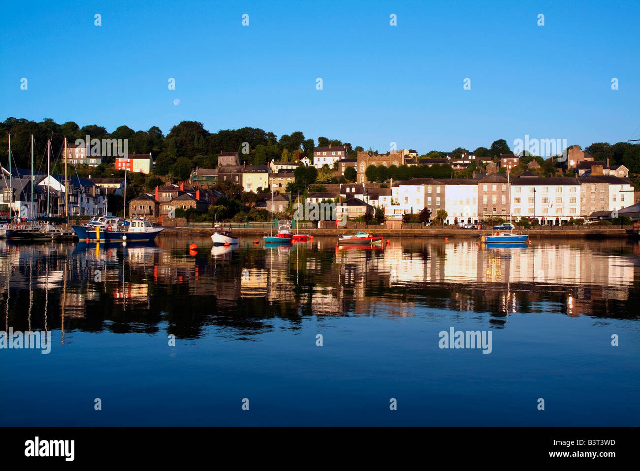
What is recorded here
Shown on 1842 OS 6-inch map as irregular circular enclosure (diam. c. 80m). Levelled; shows up as circular crop mark on aerial photograph (GSAP); NE field fence curves to respect enclosure. Man-made underground passage (CO111-031002-) in interior.
The above description is derived from the published 'Archaeological Inventory of County Cork. Volume 2: East and South Cork' (Dublin: Stationery Office, 1994). In certain instances the entries have been revised and updated in the light of recent research.
Date of upload/revision: 14 January 2009
A local fairy fort (ringfort/rath); wider significance not recorded.
The monument record does not grant public access. Check the route and ask the landowner before entering private land.
- What survives
- Recorded monument
Places near here
 Dunderrow Househouse · 1292 yd
 Grave YdGraveyard · 1604 yd
 Water millWater mill, horizontal-wheeled · 1.1 mi
 Battlefield in Ardcloyne,ballinacurra,ballythomas East,ballythomas West,ballyvrin Lower,ballyvrin Upper,horsehill More (north),horsehill More (south)Battlefield · 1.2 mi
 Leighmoney Castle (Site of)Castle, unclassified · 1.3 mi
 Dunderrow WoodWood · 1.5 mi
 Site of Grave YdBurial ground · 1.6 mi
 Shippool CastleCastle · 1.6 mi
 Shippool WoodWood · 1.7 mi
 The Stone of DestinyMemorial · 1.9 mi
 Olympic MemorialMemorial · 2.5 mi
 Ballinadee Millenium ProjectPicnic place · 2.6 mi
Other information
Photo: Credit not shown in the picture search · Rights wording not checked; contact us if this picture should be removed