What is recorded here
The Middle (1700-1200 BC) and Late (1200-800 BC) Bronze Ages are represented by the establishment of a field system, three flimsy structures that might be connected with it, this fulacht fia, and probably the length of path across the pond and the small four-post structure (7) on top of the ridge. This fulacht fia is located on a slight E-facing slope at the W edge of the seasonal pond on the shelf which is on the W side of the S-N spur. The pond would have been largely silted up by this period. A rectangular, flat-bottomed trough (dims 1.68m E-W; 1.26m N-S; D 0.3m) with a stakehole at each corner and two at the SE is at the W edge of a mound of brown silt with charcoal and heat-affected stone (dims 11.5m N-S; 5.8m E-W; T 0.3m). There was evidence of planking in a soft thin layer of black soil, and the trough was filed with a black stony silty sand with charcoal and heat-shattered stone. A fragment of hazel charcoal from one of the stakeholes provided a C14 date of 1208-1007 cal. BC (UBA 12924). A subcircular trough (dims 1.7m N-S; 1.4m E-W; D 0.3m) with a rounded base and some external stakeholes was 5m S of the rectangular trough and outside the spread of the mound. It had a stone base beneath three layers of silty sands with some charcoal and it was undoubtedly a trough that had been allowed to silt up naturally. (Walsh 2011, vol. 1, 114-16)
True location: ITM (675575, 774145)
See the attached plans adapted from Walsh 2011 (vol. 2, figs 5, 6, 20)
ME017-087_1 Site plan;
ME017-087_2 Contour plan;
ME017-087_5 Location:
ME017-087011-_1 Plan;
Compiled by: Michael Moore
Date of upload: 21 March 2022
The monument record does not grant public access. Check the route and ask the landowner before entering private land.
- What survives
- Recorded monument
Places near here
 Enclosure in Kilmainham (kells Upper By., Teltown Par.)Enclosure · 146 yd
 Enclosure in Kilmainham (headford)Enclosure · 988 yd
 Long WoodWood · 1384 yd
 Orchard WoodWood · 1533 yd
 Castle ruinsCastle · 1606 yd
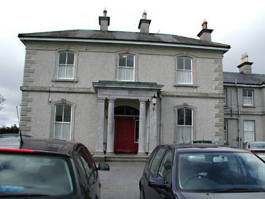 Eurekahouse · 1.2 mi
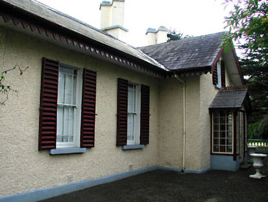 Kenlis Lodgehouse · 1.2 mi
 Saint John's CemeteryMemorial · 1.2 mi
 The Parnell GardenMemorial · 1.3 mi
 CastleCastle, motte · 1.4 mi
 BallybegMountain / peak · 1.7 mi
 BalreaskMountain / peak · 2.8 mi