What is recorded here
In level pastureland, immediately to the S of woodland. This fulacht fia is defined by a roughly circular mound (9.5m E-W; 9m N-S; H 0.15-0.5m) which is best preserved from NE to SE; it is straightened slightly at W and N. An uneven depression (6.5m N-S; 4.25m E-W; Dth 0.2m) within the centre may indicate the trough area. An oval depression (6m ENE-WSW; 5m NNW-SSE; Dth 0.4m) adjoining the SSE edge is potentially a secondary trough. There is a small pond along the boundary of the field to the E. Two other fulachta fia (GA101-076---- and GA101-078----) lie c. 190m to the SW and c. 245m to the SE respectively.
Compiled by: Olive Alcock
Date of upload: 26 November 2019
The monument record does not grant public access. Check the route and ask the landowner before entering private land.
- What survives
- Recorded monument
Places near here
 Killeen FortFairy fort / earthen ringfort · 588 yd
 RoadRoad, class 1 togher · 1.2 mi
 Site of R.C. ChapelChapel · 1.2 mi
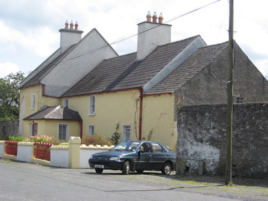 Abbey Viewhouse · 1.3 mi
 Horse-chestnutHorse-chestnut · 1.3 mi
 Clonfert CathedralHeritage attraction · 1.3 mi
 European YewEuropean Yew · 1.4 mi
 Esker IslandIsland · 2.0 mi
 Costello's IslandIsland · 2.1 mi
 Lismore CastleCastle, tower house · 2.9 mi
 Banagher MarinaHeritage attraction · 3.0 mi
 Corrigans CornerMemorial · 3.3 mi