
What is recorded here
In level grassland. Marked on the 1838 edition of the OS 6-inch map as an oval enclosure (c. 20m E-W; c. 15m N-S) and on the 1945-6 revision as a small mound (c. 15m N-S; c. 10m E-W). Apart from a low roughly circular rise (diam. 18m), no visible surface trace survives. A children's burial ground (GA101-020001-) lies within the W half of the interior.
Compiled by: Galway Archaeological Survey, UCG
Date of upload: 28 March 2019
The monument record does not grant public access. Check the route and ask the landowner before entering private land.
- What survives
- Recorded monument
Places near here
 RoadRoad, class 1 togher · 1.2 mi
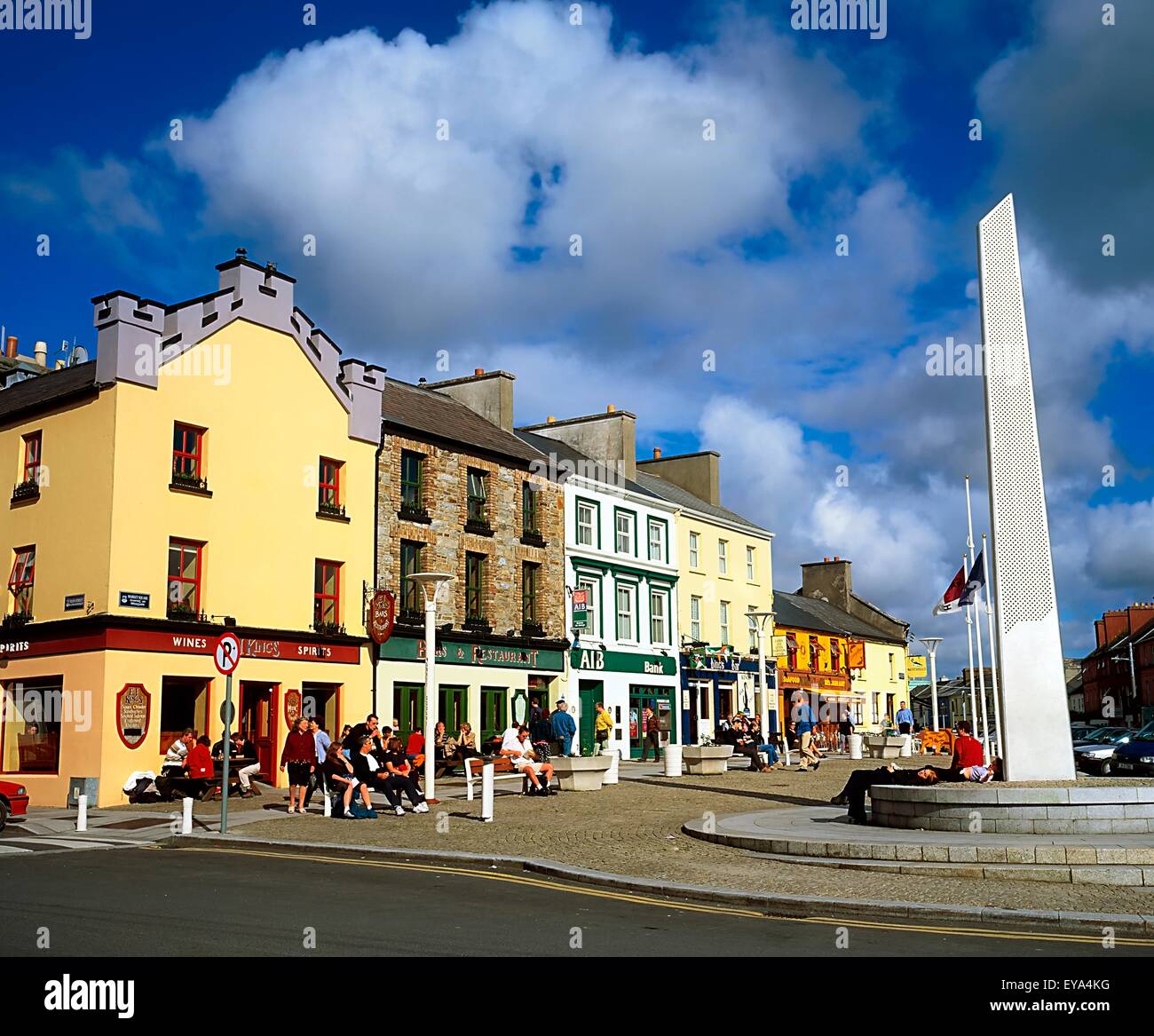 CankillyHouse, 20th century · 1.3 mi
 TobermuckinaghHoly well · 1.5 mi
 Site of R.C. ChapelChapel · 1.5 mi
 Horse-chestnutHorse-chestnut · 1.6 mi
 Clonfert CathedralHeritage attraction · 1.6 mi
 European YewEuropean Yew · 1.7 mi
 Esker IslandIsland · 1.7 mi
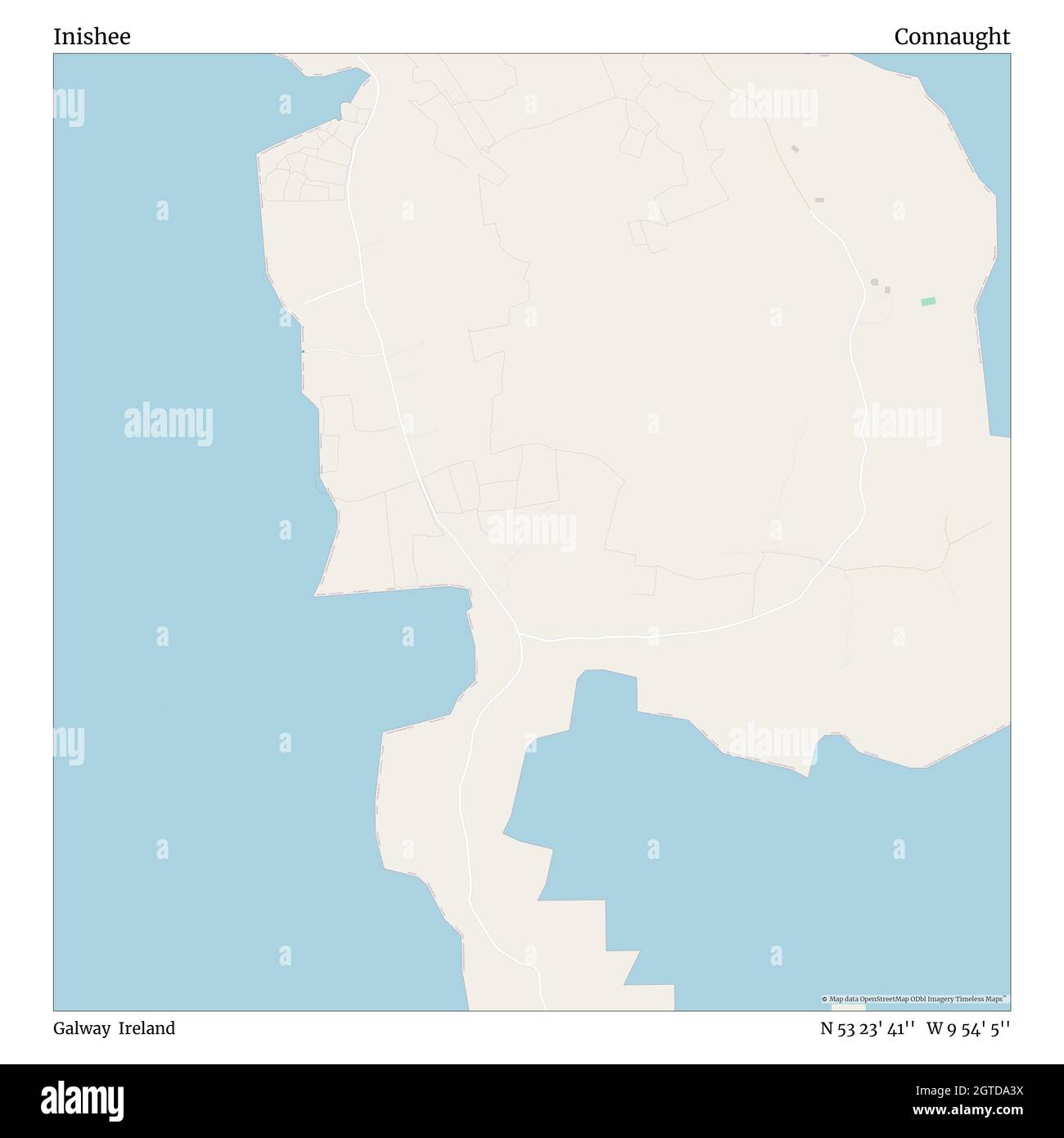 InisheeIsland · 1.9 mi
 Banagher MarinaHeritage attraction · 2.7 mi
 Lismore CastleCastle, tower house · 2.9 mi
 Corrigans CornerMemorial · 3.0 mi
Other information
Photo: Credit not shown in the picture search · Rights wording not checked; contact us if this picture should be removed