What is recorded here
In pasture. Low roughly circular mound of burnt material (14m N-S; 14m E-W). Recorded by Bowman (1934, 209) as levelled and on P. Horgan's land.
The above description is derived from the published 'Archaeological Inventory of County Cork. Volume 4: North Cork' (Dublin: Stationery Office, 2000). In certain instances the entries have been revised and updated in the light of recent research.
Date of upload/revision: 14 January 2009
The monument record does not grant public access. Check the route and ask the landowner before entering private land.
- What survives
- Recorded monument
Places near here
 IndicatedHouse, vernacular house · 359 yd
 Burial ground in Kilcaskan SouthBurial ground · 677 yd
 Gurteenard Housecountry house · 950 yd
 Kanturk CastleHeritage attraction · 1350 yd
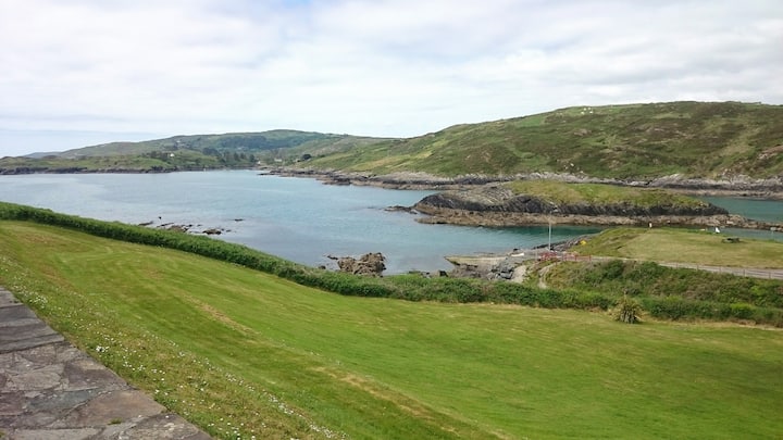 Fulacht fia in Dromcummer MoreFulacht fia · 1421 yd
 Hanna SheehyMemorial · 1.6 mi
 St Fursey's WellSpring · 1.6 mi
 Clonmeen Court (Site of)House, fortified house · 1.7 mi
 CastleCastle, unclassified · 1.8 mi
 Burial ground in AssolasBurial ground · 2.0 mi
 European YewEuropean Yew · 2.3 mi
 Mount Hillary - Knightfield LoopWalking route · 3.1 mi