What is recorded here
Excavated in advance of construction of the N9/N10 Kilcullen-Waterford Road (Excavation Licence number E2586). Located in wet ground. Four troughs, two of which contained timber planks in their bases, and a number of pits and postholes were uncovered. Most of the cuts were filled with deposits of heat shattered stones and charcoal. Shallow spreads of burnt mound material were uncovered at three locations. One pit (CW007-105----) extended beyond the limit of the road corridor. (Breen G, 2009)
Reference:
Breen G. 2009 N9/N10 Kilcullen to Waterford Scheme: Kilcullen to Powerstown. Archaeological Services Contract No. 4 - Resolution, Prumpelstown to Powerstown. Final Report on archaeological investigations at site E2586, in the townland of Johnstown, Co. Carlow. Unpublished report, Headland Archaeology (Ireland) Ltd., Cork
Compiled by: Claire Breen
Date of upload: 10 November 2010
The monument record does not grant public access. Check the route and ask the landowner before entering private land.
- What survives
- Recorded monument
Places near here
 Ecclesiastical enclosure in BusherstownEcclesiastical enclosure · 414 yd
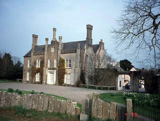 Johnstown Housecountry house · 428 yd
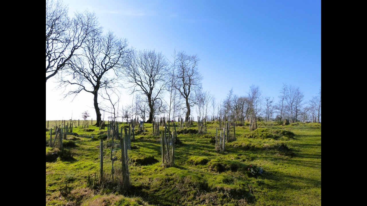 Burial GroundChurch · 713 yd
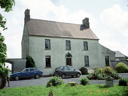 Busherstown Housefarm house · 796 yd
 Graigue Castle in ruinsCastle, unclassified · 1670 yd
 Site of CastleCastle, unclassified · 1.0 mi
 Brownshill Portal TombVisitor information · 1.2 mi
 Cork oakCork oak · 2.1 mi
 European YewEuropean Yew · 2.1 mi
 Duckett's GroveHeritage attraction · 2.3 mi
 Kilmurry Church (in ruins), GraveyardChurch · 3.9 mi
 Church (in ruins), GraveyardChurch · 5.0 mi