What is recorded here
Spread of burnt material (L 11m; Wth 8m) visible in ploughed field.
The above description is derived from the published 'Archaeological Inventory of County Cork. Volume 2: East and South Cork' (Dublin: Stationery Office, 1994). In certain instances the entries have been revised and updated in the light of recent research.
Date of upload/revision: 14 January 2009
The monument record does not grant public access. Check the route and ask the landowner before entering private land.
- What survives
- Recorded monument
Places near here
 Grave YardGraveyard · 570 yd
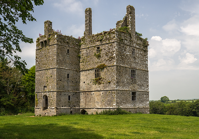 Ightermurragh Castle (in Ruins)House, fortified house · 661 yd
 IndicatedKiln, lime · 670 yd
 Fulacht fia in IghtermurraghFulacht fia · 776 yd
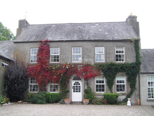 Bridgefield Househouse · 857 yd
 Mitchell's WoodWood · 1.8 mi
 Garryvoe Castle (in Ruins)Castle, tower house · 1.9 mi
 William Heffernan MemorialMemorial · 1.9 mi
 Pigeon WoodWood · 2.6 mi
 Historical Graveyard InformationVisitor information · 2.9 mi
 Garryvoe BeachBeach / strand · 3.3 mi
 N25 Picnic SitePicnic place · 3.4 mi