
What is recorded here
Garryvoe Lower is a tiny four-metre square tower hidden in rolling Cork pasture, probably built by the Carews during their long ownership of the land. Ivy now chokes its broken walls, swallowing the vanished stairwell and leaving only cracked lintels, stubborn vaults and mysterious projecting stones to mark where people once climbed, defended or simply lived. The Carews held this place through turbulent centuries, yet the tower itself refuses to explain much of what they did inside.
In gentle rolling pasture, remains of very small square tower (4.2m N-S; 4.2m E-W), partially ivy-clad. SE corner has fallen but otherwise tower stands to just above 1st floor level. Ground floor covered by segmental, wicker-centred vault (axis N-S), intact except where it abutted S wall; pointed vault over 1st floor (axis E-W), broken at SE corner. Ground floor entered by lintelled door at S end of E wall; lintel now cracked and most of S side of door fallen. First floor entered by lintelled door in S corner of W wall, but only N side of door now survives. First floor lit by central lintelled windows in N and W walls, with narrow flat-headed lights. In Hartnett's time (1950, 51-2) SE corner stood to 2nd floor level, as did other walls. He records a stairwell in SE corner of which nothing now survives. At ground level, on external NE corner, is a poorly preserved projection; Hartnett saw this as 'probably a buttress'. Directly above this projection, at 1st/2nd floor level, are a series of projecting stones; similarly on E face, at the same level, are further projecting stones,though set back from the corner- exact function unclear. According to Hartnett (ibid., 52) 'castle was probably erected by the Carews' who held this land 'all through the sixteenth and seventeenth centuries'; Coleman (1913, 32) notes that 'nothing seems to be known' of its history.
The above description is derived from the published 'Archaeological Inventory of County Cork. Volume 2: East and South Cork' (Dublin: Stationery Office, 1994). In certain instances the entries have been revised and updated in the light of recent research.
Date of upload/revision: 14 January 2009
The monument record does not grant public access. Check the route and ask the landowner before entering private land.
- What survives
- Recorded monument
Places near here
 Grave YardGraveyard · 97 yd
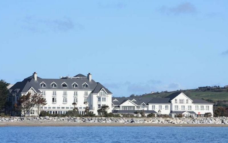 Garryvoe Church (in Ruins)Church · 107 yd
 Fulacht fia in Garryvoe UpperFulacht fia · 434 yd
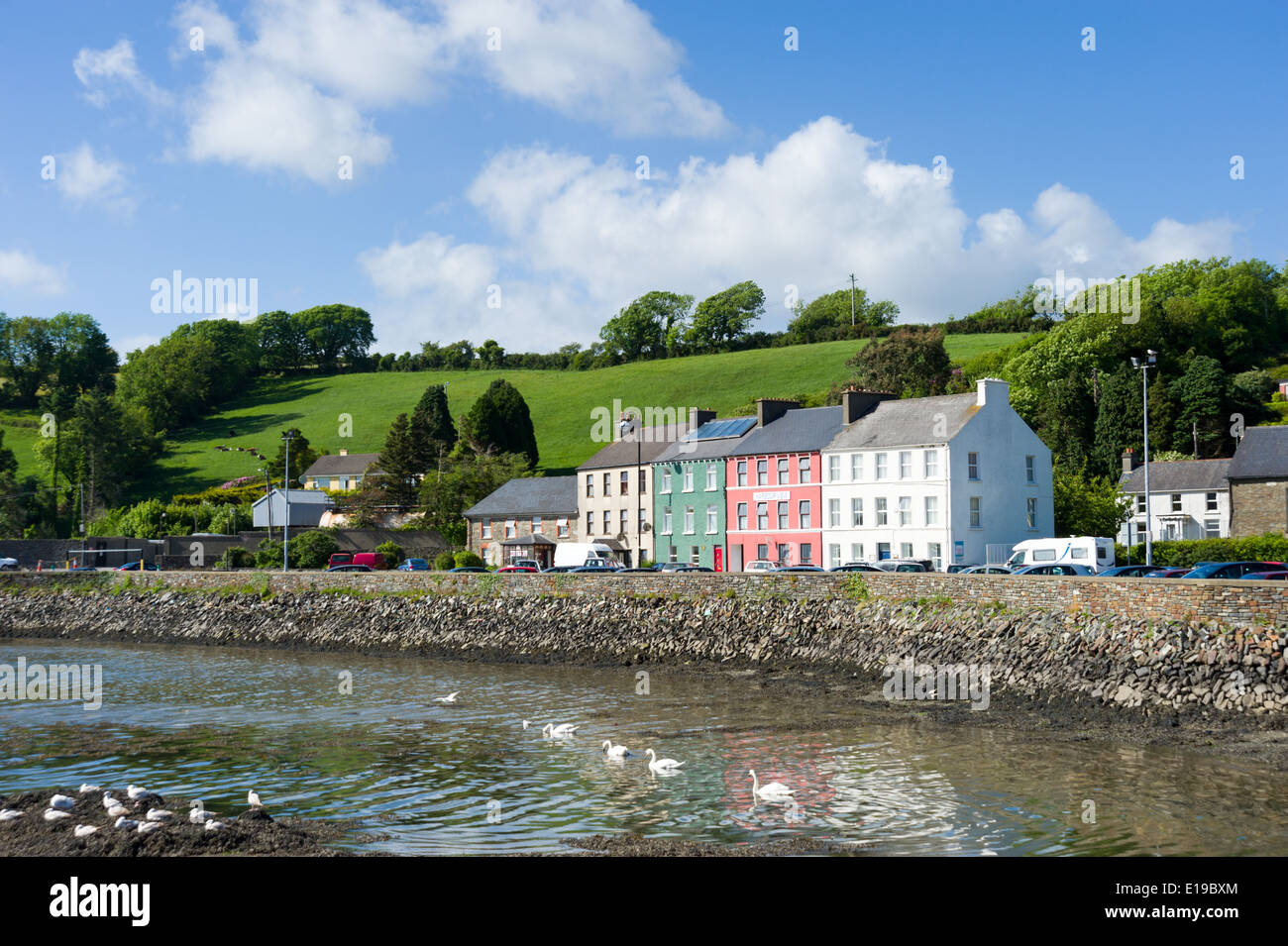 IndicatedHouse, vernacular house · 1538 yd
 Garryvoe BeachBeach / strand · 1.4 mi
 Castle (in Ruins)Castle, tower house · 1.5 mi
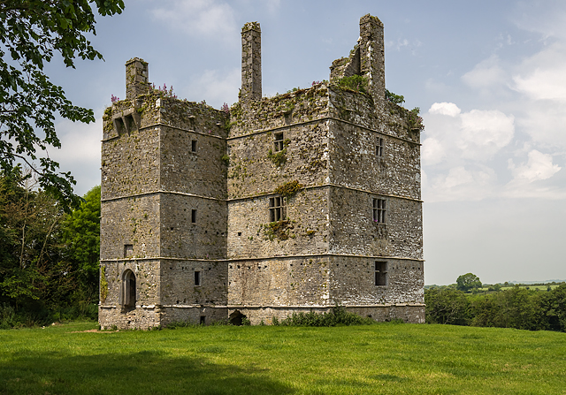 Ightermurragh Castle (in Ruins)House, fortified house · 2.3 mi
 Mitchell's WoodWood · 3.1 mi
 Ballycotton Island (Small)Islet · 3.2 mi
 P.N.L.B. Mary StandfordWreck · 3.3 mi
 Mary StandfordMemorial · 3.3 mi
 Ballycotton IslandIslet · 3.3 mi
Other information
Photo: Credit not shown in the picture search · Rights wording not checked; contact us if this picture should be removed