
What is recorded here
Grass-covered spread of burnt material (diam. c. 7m) in reclaimed land. According to local information, formerly "a low mound in a bog".
The above description is derived from the published 'Archaeological Inventory of County Cork. Volume 2: East and South Cork' (Dublin: Stationery Office, 1994). In certain instances the entries have been revised and updated in the light of recent research.
Date of upload/revision: 14 January 2009
The monument record does not grant public access. Check the route and ask the landowner before entering private land.
- What survives
- Recorded monument
Places near here
 Grave YardGraveyard · 343 yd
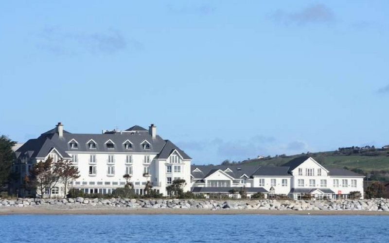 Garryvoe Church (in Ruins)Church · 343 yd
 Garryvoe Castle (in Ruins)Castle, tower house · 434 yd
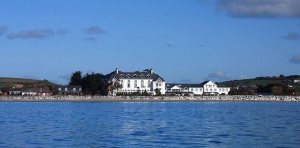 Enclosure in Garryvoe LowerEnclosure · 1424 yd
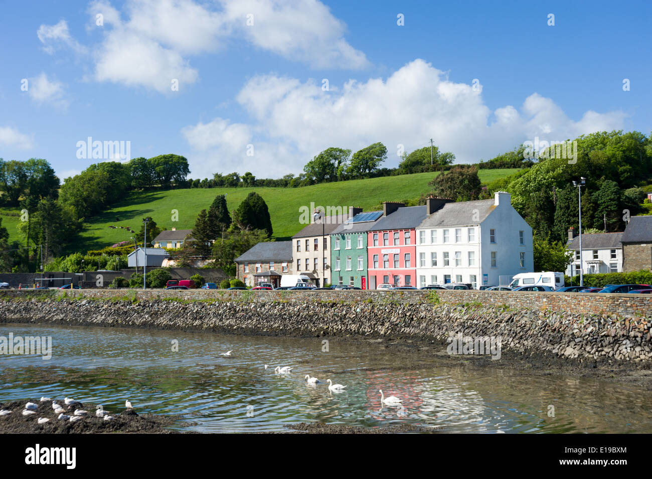 IndicatedHouse, vernacular house · 1707 yd
 Castle (in Ruins)Castle, tower house · 1.6 mi
 Garryvoe BeachBeach / strand · 1.7 mi
 Mitchell's WoodWood · 2.9 mi
 William Heffernan MemorialMemorial · 3.2 mi
 Ballycotton Island (Small)Islet · 3.5 mi
 P.N.L.B. Mary StandfordWreck · 3.5 mi
 Mary StandfordMemorial · 3.5 mi
Other information
Photo: Credit not shown in the picture search · Rights wording not checked; contact us if this picture should be removed