What is recorded here
Half a horseshoe of burnt stone still curves beside the Glashagoruv tributary, the missing centre surrendered to water. People may have heated stones, drowned them in a wooden trough and drawn up roaring steam to cook food, clean tools or mark a feast. The standing stone a short distance east could have watched that noisy kitchen, while the river took the middle and left two crescent scars behind.
In rough pasture, on the N bank of a tributary of the Glashagoruv River. Two roughly crescent-shaped mounds (W mound: 5.35 E-W; 4.4m N-S; H 0.6m; E mound: 4.4m N-S; 2.2m E-W; H 1m) of burnt material, a short distance apart, are probably the remains of a horseshoe-shaped fulacht fia, the centre of which has been eroded by the stream. A standing stone (KE094-022----) is c. 60m to the E.
The above description is derived from the published 'Archaeological Inventory of County Kerry. Volume I: South-West Kerry' (Dublin: Stationery Office, 2009). In certain instances the entries have been revised and updated in the light of recent research.
Date of upload: 30 May 2011
The monument record does not grant public access. Check the route and ask the landowner before entering private land.
- What survives
- Recorded monument
Places near here
 Field system in Gurteen (glanarought By.)Field system · 925 yd
 CaveMan-made underground passage · 1298 yd
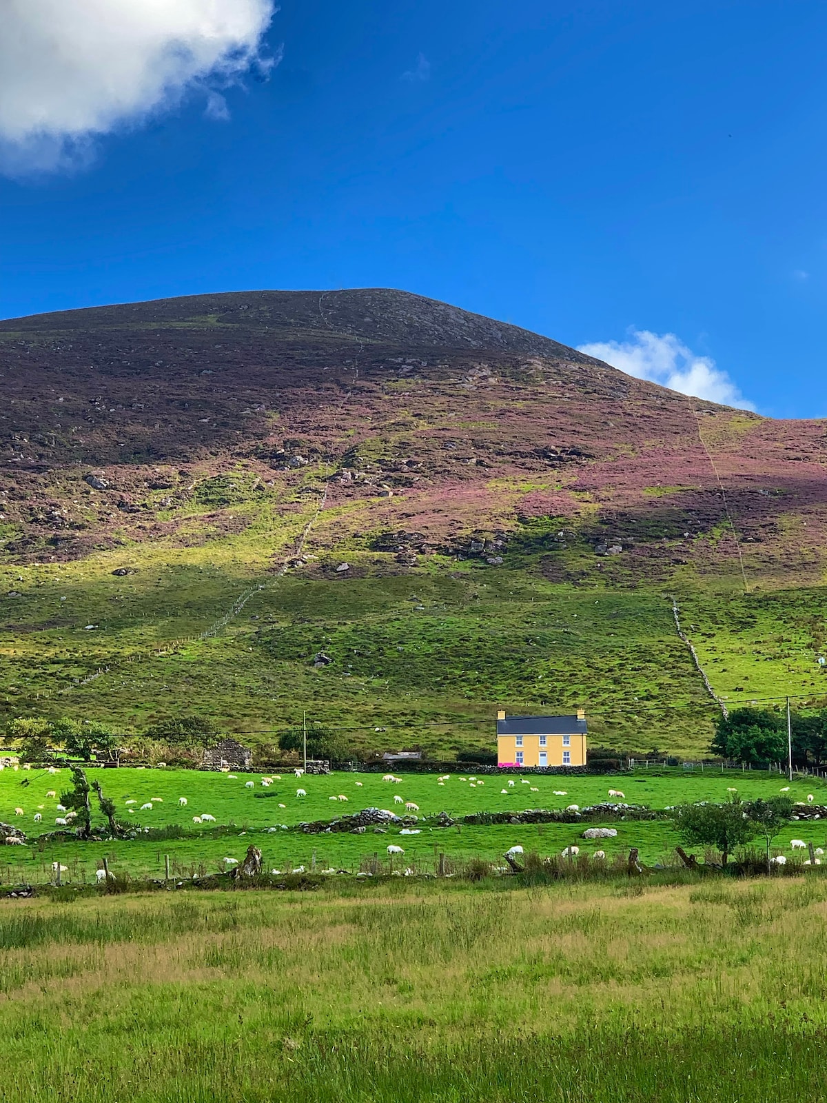 Gullaba HillMountain / peak · 1561 yd
 Bird HillMountain / peak · 1757 yd
 Battle of Callannbattle · 1.3 mi
 Kilgarvan Motor MuseumMuseum · 1.3 mi
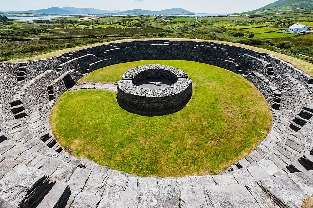 Cahergal Br.Bridge · 2.0 mi
 OutlinedKiln, lime · 2.1 mi
 Great Southern & Western RailwayMemorial · 2.3 mi
 Castle (Site of)Castle, unclassified · 2.3 mi
 European YewEuropean Yew · 2.3 mi
 CaoinkeenCliff · 3.1 mi