What is recorded here
On the N bank of a stream, in pasture. Listed by Prendergast (1955, 10) as a fulacht fia. Satellite imagery (Digitalglobe 2011-2013 and OS Orth Aerial Premium 2013-2018) indicates that the land has subsequently been reclaimed.
The monument record does not grant public access. Check the route and ask the landowner before entering private land.
- What survives
- Recorded monument
Places near here
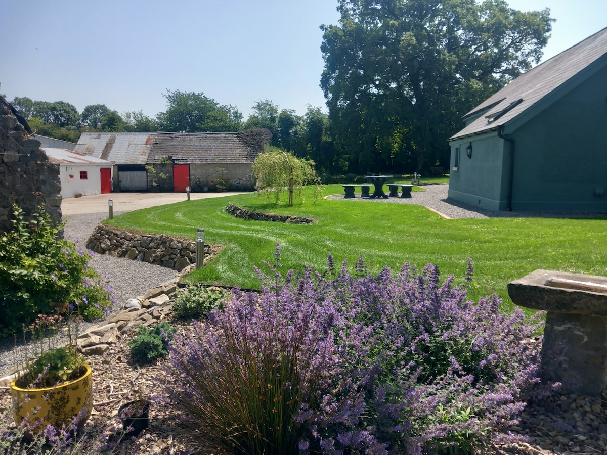 HachauredEnclosure · 925 yd
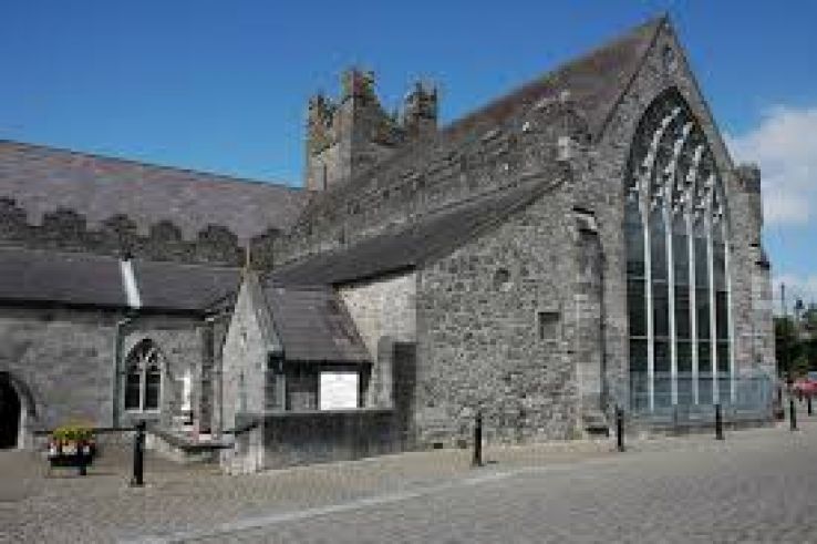 Enclosure in CourtnaboghillaEnclosure · 1026 yd
 Neigham CastleCastle, tower house · 1273 yd
 Grangesylvia Church (in ruins)Church · 1.1 mi
 CastleCastle, motte · 1.2 mi
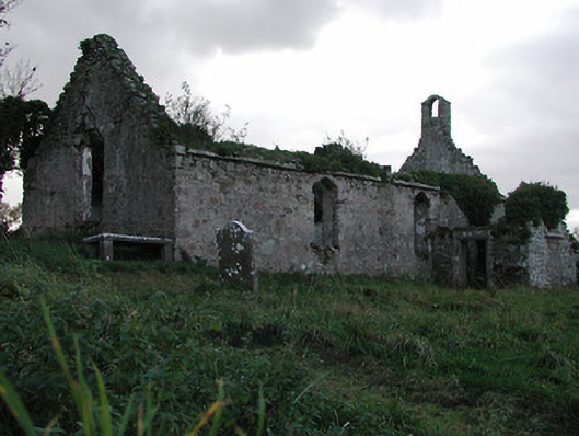 Powerstown Churchchurch/chapel · 1.3 mi
 Red BogForest · 2.0 mi
 Tinnakeenly BogForest · 2.9 mi
 Tullaherin Church and Round TowerVisitor information · 3.9 mi
 Kilbline GraveyardArchaeological place · 5.0 mi
 Time CapsuleMemorial · 5.9 mi
 St. Mogarra’s WellSpring · 6.8 mi