
What is recorded here
Castle rises ninety metres from the ruined church, a flat-topped gravel mound thirty metres across on a north-facing slope. Dense vegetation hides its western and southern scars, but the eastern brow still commands the land. The absence of a surrounding ditch suggests occupancy rather than siege, perhaps a steward watching traffic or a family keeping a local church.
On the brow of a N-facing slope with good views from SE-W-NE. A small bowl-shaped flat-topped mound (diam. at top 16.5m; basal diam. c. 30m; H 3.6-4m) defined by a scarp and covered in dense overgrowth to NW and SSW. It is composed of earth and gravel. There is no evidence of a fosse around the base. The ruined church (KK025-007001-) and graveyard (KK025-007003-) is located c. 90m to the NNE.
See attached:
KK025-008----_01 General view from S (photo taken 23 November 1994)
Compiled by: Jean Farrelly
Date of upload: 25 February 2022
The monument record does not grant public access. Check the route and ask the landowner before entering private land.
- What survives
- Recorded monument
Places near here
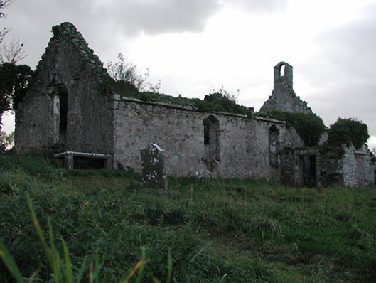 Powerstown Churchchurch/chapel · 123 yd
 Not indciatedEnclosure · 1054 yd
 Enclosure in CourtnaboghillaEnclosure · 1188 yd
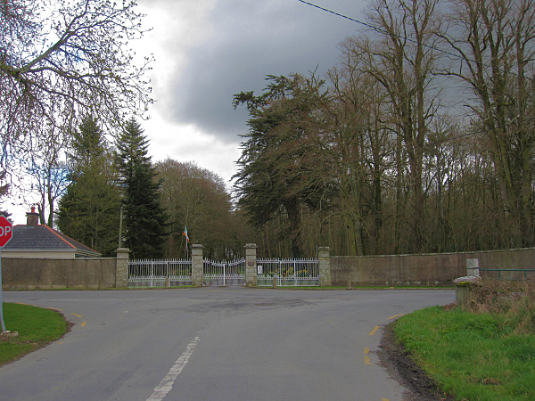 Mount Loftusgates/railings/walls · 1701 yd
 Drumroe Castle (ruins)Castle · 1.2 mi
 Lord Galmoys Catle (in ruins)Castle, unclassified · 1.5 mi
 Tinnakeenly BogForest · 2.1 mi
 The Burrow FieldForest · 2.3 mi
 Monastic MillsMemorial · 5.1 mi
 Tullaherin Church and Round TowerVisitor information · 5.2 mi
 St. Michaels Church (in Ruins), GraveyardChurch · 5.6 mi
 St. Mogarra’s WellSpring · 7.3 mi
Other information
Photo: Credit not shown in the picture search · Rights wording not checked; contact us if this picture should be removed