What is recorded here
Five fulacht fia are scattered across the flat marshy ground at Garr, each a low horseshoe of burnt stone and black soil with a waterlogged trough open to the sky. They sit between good pasture and bog, near a graveyard, as if people came here to heat water, cook food or cleanse something before returning to the living fields. The repeated shape suggests a place used often, not a single forgotten accident.
Small horseshoe shaped mound (H c. 0.50m, max E-W dims 8.20m) with trough orientated NNW. Some burnt stone and black soil visible. Similar site (OF004-017----) 8m to the W and a further one to the NNE.
On low-lying flat marshy land between good pasture land and bog with graveyard to S (OF004-002----). Grass covered horseshoe-shaped mound (8m N-S; 10.5m E-W; H 0.2m) of burnt material with central waterlogged depression (2.5m by 3m) open to NNW. Second fulacht fiadh 6m to the NE. One of a group of five fulachta fiadh
The above description is derived from the published 'Archaeological Inventory of County Offaly' (Dublin: Stationery Office, 1997). In certain instances the entries have been revised and updated in the light of recent research.
Date of upload: 23 May 2011
The monument record does not grant public access. Check the route and ask the landowner before entering private land.
- What survives
- Recorded monument
Places near here
 Fulacht fia in GarrFulacht fia · 15 yd
 Gortnatemple GraveyardBurial ground · 288 yd
 Moat HillCastle, motte · 862 yd
 Knockdrin HillMountain / peak · 1.5 mi
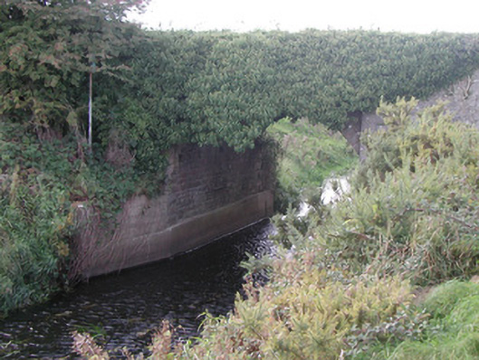 Baltinoran Bridgebridge · 1.8 mi
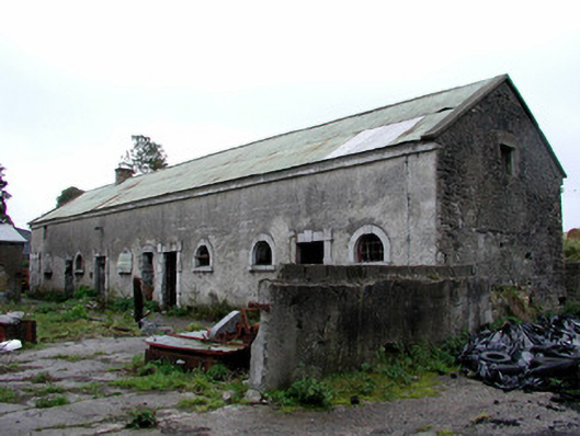 Greenhills Housestables · 1.9 mi
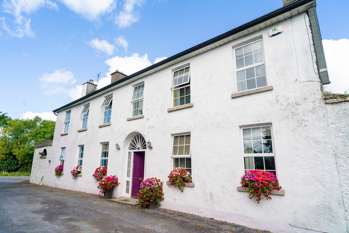 Ballyburly Ho.Castle, unclassified · 2.4 mi
 Derrygreenagh HillMountain / peak · 2.4 mi
 Holy PlantationForest · 3.8 mi
 Victoria PlantationWood · 4.0 mi
 Croghan HillMountain / peak · 4.7 mi
 Croghan Hill WalkVisitor information · 5.0 mi