What is recorded here
A spread (c. 10m square) of burnt stones and dark soil visible in ploughed field (pers. comm. County Louth Archaeological and Historical Society).
Compiled by: Claire Breen
Date of upload: 6 July 2012
The monument record does not grant public access. Check the route and ask the landowner before entering private land.
- What survives
- Recorded monument
Places near here
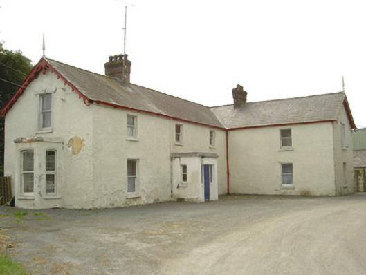 Burren Househouse · 495 yd
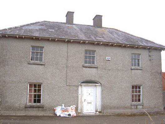 Morganstown Housefarm house · 1297 yd
 CastleCastle, unclassified · 1719 yd
 IndicatedCastle, motte · 1.2 mi
 European BeechEuropean Beech · 1.2 mi
 Settlement cluster in Battsland,dunleer,ravelSettlement cluster · 1.3 mi
 Holy well in BattslandHoly well · 1.3 mi
 European YewEuropean Yew · 1.3 mi
 Graveyard in DysartGraveyard · 1.7 mi
 Chapel (in Ruins), GraveyardChurch · 1.8 mi
 Tullydonnell HillMountain / peak · 1.8 mi
 MonasterboiceEarly monastic site · 3.5 mi