
What is recorded here
Located on the E bank of a N-S meandering section of the River Dee or White River. Although Bridget is descended from a section of the Fothairt people known as Uí Bhreasail, who were probably based in Offaly, the many medieval lives of the saint associated her with Faughart in Co. Louth (Ó Riain 2011, 123). Many of these relate the story of how, in order to avoid the attentions of men and pursue a religious life she gouged out her own eyes. In her blind wanderings she washed here face at a well in Lann Leire (Dunleer) that was ever afterwards known as Tobar Brighide, St. Bridget’s Well. Although it had been closed about thirty years by then, the first notice of it in the Ordinance Survey Letters (1836) records its position as in Dunleer ‘about 5 perches E of the road to Drogheda’ (Herity 2012, 261), and local memory had always placed it on the E bank of the river. In 1953 the local school teacher, Joseph Sharkey, identified it when it was described as just a few stones covered in mud from the river (Coyle 1954, 1956, 192-4). The river was drained and widened in 1987 and the well is no longer extant.
Compiled by: Michael Moore
Date of upload: 29 June 2021
Linked to Saint Brigid (Brigida or Bridget), the well is associated with her wider cult in Ireland and Scotland, particularly connected to healing and fertility. Traditionally, the well may have been visited for cures related to women's health and childbirth, reflecting Brigid's role as a patroness of midwifery and protection.
The monument record does not grant public access. Check the route and ask the landowner before entering private land.
- What survives
- Recorded monument
Places near here
 Settlement cluster in Battsland,dunleer,ravelSettlement cluster · 36 yd
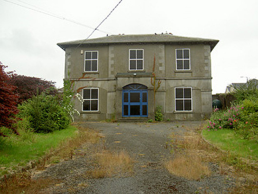 Dunleer Market Housemarket house · 85 yd
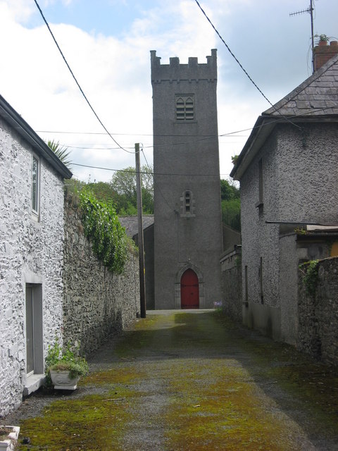 Church of Saint Brethan and Saint Frethan (Dunleer)church/chapel · 91 yd
 Ecclesiastical enclosure in DunleerEcclesiastical enclosure · 105 yd
 IndicatedCastle, motte · 271 yd
 CastleCastle, unclassified · 753 yd
 Rathescar Lakeside WalkWood · 2.0 mi
 European BeechEuropean Beech · 2.2 mi
 Tullydonnell HillMountain / peak · 2.2 mi
 Graveyard in DysartGraveyard · 2.6 mi
 Chapel (in Ruins), GraveyardChurch · 3.1 mi
 Monasterboice Round TowerHeritage attraction · 3.8 mi
Other information
Photo: Credit not shown in the picture search · Rights wording not checked; contact us if this picture should be removed