
What is recorded here
Discovered during pre-development test excavation (Excavation Licence No. 96E0261). A small area was investigated which revealed a layer of burnt stones with inclusions of charcoal. Full extent was not excavated. (Campbell 1997a, 78-9)
Compiled by: Claire Breen
Date of uplaod: 20 April 2012
The monument record does not grant public access. Check the route and ask the landowner before entering private land.
- What survives
- Recorded monument
Places near here
 RoadRoad, unclassified togher · 132 yd
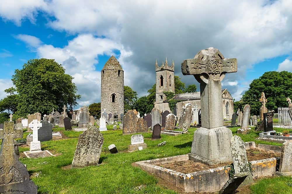 PlatformPlatform, peatland · 146 yd
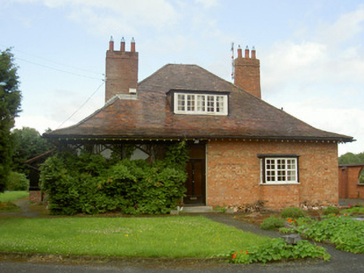 Cromeenhouse · 186 yd
 Man-made underground passage in DromiskinMan-made underground passage · 219 yd
 Viking BoatHeritage attraction · 300 yd
 Drummeenagh HillMountain / peak · 1.1 mi
 CastleCastle, unclassified · 1.2 mi
 Castle (Site of)Castle, unclassified · 1.8 mi
 Long WoodForest · 2.1 mi
 Broad WoodForest · 2.2 mi
 BallybarrackMountain / peak · 4.5 mi
 Graveyard in Richardstown (ardee By., Richardstown Par.)Graveyard · 5.2 mi
Other information
Photo: Credit not shown in the picture search · Rights wording not checked; contact us if this picture should be removed