What is recorded here
In 2002 archaeological monitoring by Richard Crumlish of a development to the south of an earthwork (TN036-005) revealed a fulacht fiadh, two burnt spreads and two charcoal spreads. This monitoring was carried out under Licence No. 02E0945 (Bennett 2004, 476).
A burnt spread situated in a peaty area that was roughly horseshoe shaped, with a narrwo arm extending from its south-souht-east end. The main part of the site measured 8.5m by 3m. Three smaller, outlying spreads lay around the main spread, tot he north-west and south-east. One of two burnt spreads and a fulacht fiadh along with other areas of charcoal enriched soil that was uncovered during monitoring of top soil removal in the field. This spread was left in situ and re-covered with topsoil.
Compiled by: Caimin O'Brien.
Date of upload: 22 September 2008
The monument record does not grant public access. Check the route and ask the landowner before entering private land.
- What survives
- Recorded monument
Places near here
 Burnt spread in DerryvilleBurnt spread · 46 yd
 Fulacht fia in DerryvilleFulacht fia · 109 yd
 Killoran Housecountry house · 1.2 mi
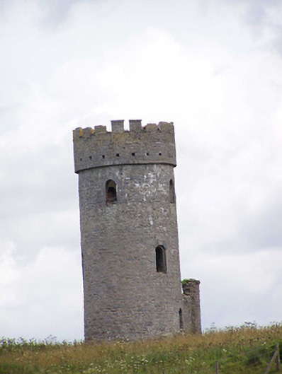 Killoran Towerfolly · 1.4 mi
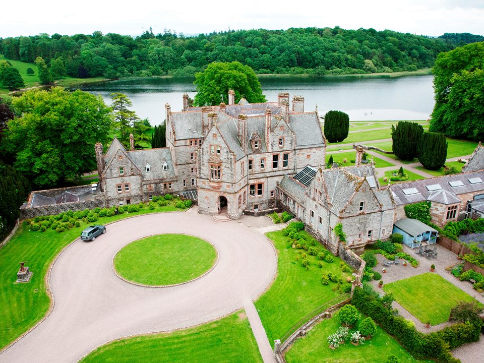 Lisalleen Castle (in ruins)Castle, unclassified · 2.2 mi
 Tullow CastleCastle · 2.3 mi
 Tullow HillMountain / peak · 2.3 mi
 Clonmeen WoodWood · 4.0 mi
 Cnoc SeanrathaMemorial · 4.7 mi
 Pheasant IslandHeritage attraction · 7.8 mi
 Lár na PáirceMuseum · 8.0 mi
 European ashEuropean ash · 8.1 mi