
What is recorded here
In 2002 archaeological monitoring by Richard Crumlish of a development to the south of an earthwork (TN036-005) site revealed a fulacht fiadh, two burnt spreads and two charcoal spreads. This monitoring was carried out under Licence No. 02E0945 (Bennett 2004, 476).
The Fulacht Fiadh was excavated under Licence No. 02E1253. The site was situated on the edge of a west-facing slope, adjacent to an area of peat. It did not have a definite shape, probably owing to the disturbance caused by the bulldozer while stripping the topsoil. It measured 20m x 14m. Two puts and a rock-cut trough were uncovered during the excavation.
Compiled by: Caimin O'Brien.
Date of upload: 22 September 2008
The monument record does not grant public access. Check the route and ask the landowner before entering private land.
- What survives
- Recorded monument
Places near here
 Burnt spread in DerryvilleBurnt spread · 115 yd
 Killoran Housecountry house · 1.1 mi
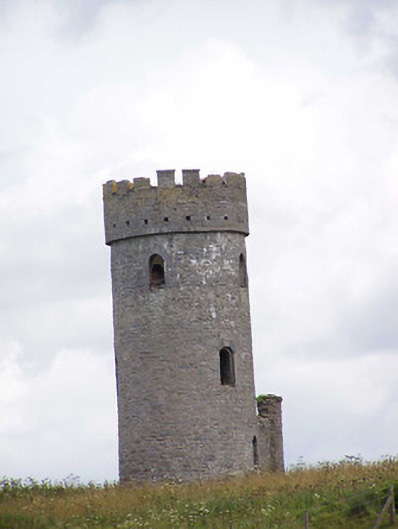 Killoran Towerfolly · 1.3 mi
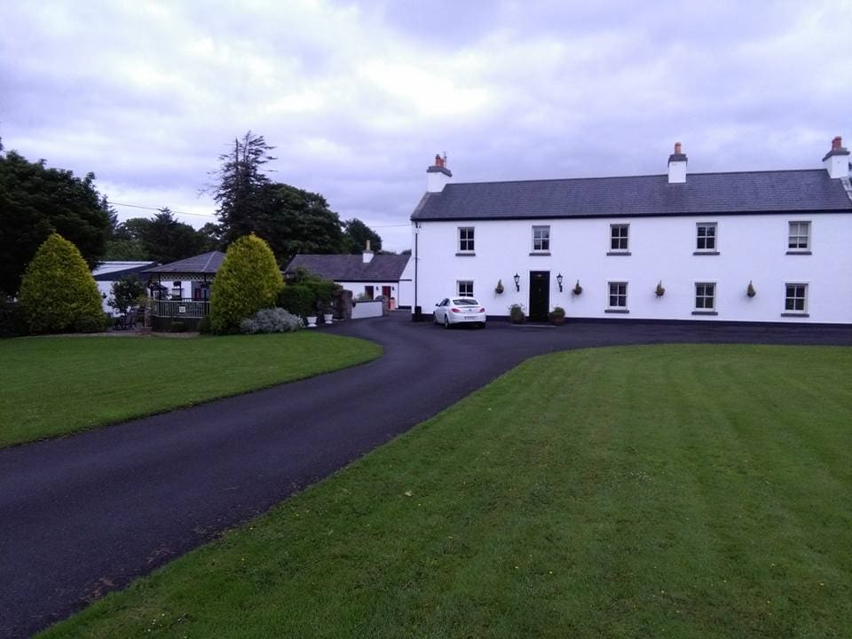 LislacyFairy fort / earthen ringfort · 1.5 mi
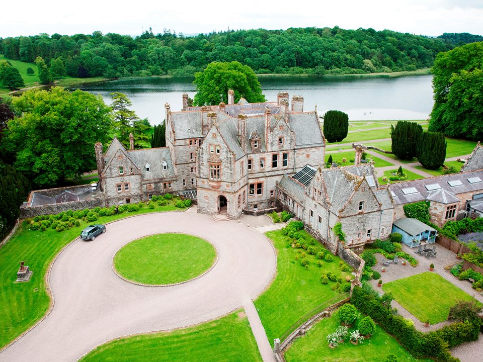 Lisalleen Castle (in ruins)Castle, unclassified · 2.3 mi
 Tullow CastleCastle · 2.4 mi
 Tullow HillMountain / peak · 2.4 mi
 Clonmeen WoodWood · 4.1 mi
 Cnoc SeanrathaMemorial · 4.8 mi
 Pheasant IslandHeritage attraction · 7.8 mi
 Lár na PáirceMuseum · 7.9 mi
 European ashEuropean ash · 8.1 mi
Other information
Photo: Credit not shown in the picture search · Rights wording not checked; contact us if this picture should be removed