What is recorded here
On the N floodplain of the SW-NE Boyle river c. 2 km before it enters Lough Key. D-shaped mound of broken and burnt stones (dims 12.3m x 8.5m; T 0.3m) which was cut by a drain on the NW side. Excavation (98E0401) revealed a section of a circular trough (diam. 1.5m; D 0.9m) which was lined with wattle. It has been completely removed. (Fitzpatrick 1999, 2000b)
Compiled by: Michael Moore
Date of upload: 24 August 2010
The monument record does not grant public access. Check the route and ask the landowner before entering private land.
- What survives
- Recorded monument
Places near here
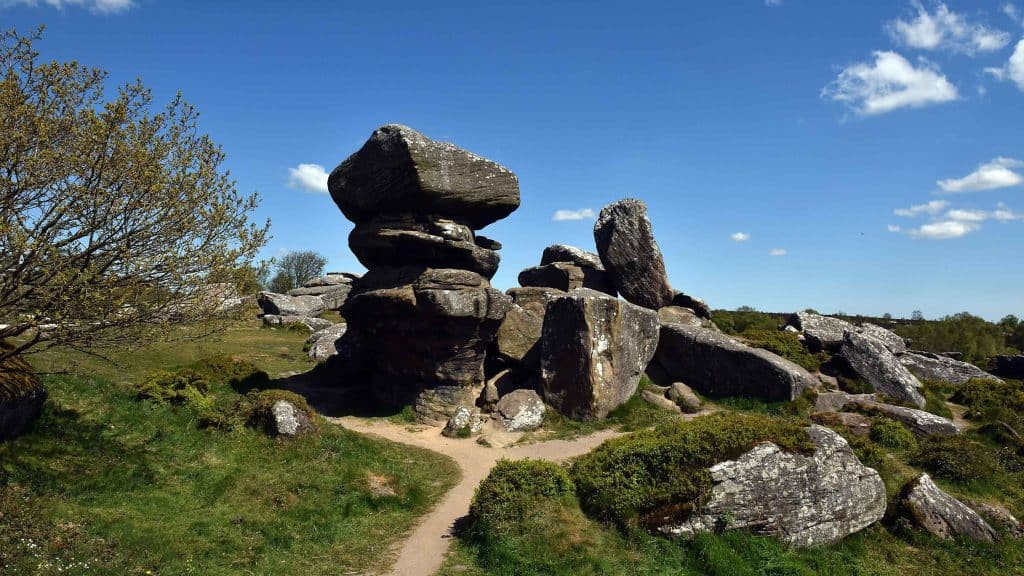 Mass-rock (present location) in Deerpark (boyle By., Boyle Rural Ed)Mass-rock (present location) · 295 yd
 Drumm ChurchChurch · 458 yd
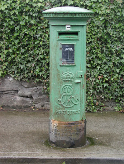 post boxpost box · 1033 yd
 Brothers SculptureMonument · 1165 yd
 Boyle AbbeyHeritage attraction · 1195 yd
 King William MemorialMonument · 1420 yd
 Bingham IslandIslet · 1.1 mi
 Erris BayBay · 1.3 mi
 Battle of Curlew PassMajor battlefield · 1.3 mi
 Battle of the Curlew Mountains (1599)Battlefield · 1.4 mi
 Church IslandIslet · 1.5 mi
 Lough Key Forest ParkWood · 1.9 mi