What is recorded here
In rough grazing, on the N bank of a stream. A crescent-shaped mound (14m N-S; 7m E-W; H 1.2m) of heat-shattered stones and charcoal-enriched soil. The opening (Wth 6m) faces E. The mound is densely covered by moor grass and ferns.
The above description is derived from 'The Archaeological Inventory of County Cork. Volume 5' (Dublin: Stationery Office, 2009).
Date of upload: 22 December 2009
The monument record does not grant public access. Check the route and ask the landowner before entering private land.
- What survives
- Recorded monument
Places near here
 Field system in CurramoreField system · 623 yd
 Field boundary in CurramoreField boundary · 650 yd
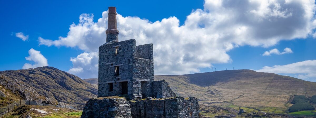 MineMine, copper · 1335 yd
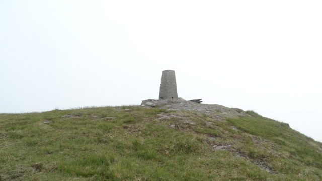 Knockboy North TopMountain / peak · 1.5 mi
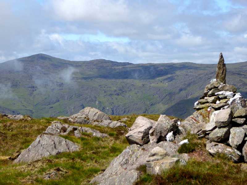 Caoinkeen South-East TopMountain / peak · 1.7 mi
 The Priests LeapViewpoint · 2.3 mi
 CaoinkeenCliff · 2.3 mi
 Carriganass CastleCastle · 3.2 mi
 Carriganass Bridgebridge · 3.2 mi
 Coomhola Salmon Trust (Streamscapes)Museum · 3.5 mi
 Daly's LoopWalking route · 3.9 mi
 Kealkill stone circleVisitor information · 3.9 mi