
What is recorded here
On a rough boggy terrace, on a SE-facing hillslope punctuated by outcropping rocks on the W side of Borlin Valley. Traces of relict stone field boundaries (T 0.6m; H 0.5m), which protrude above the surface of the bog, occur intermittently in an irregularly shaped area (c. 80m E-W; c. 60m N-S) along the boggy terrace. Several upright slabs are set at right angles to the line of the walls.
The above description is derived from 'The Archaeological Inventory of County Cork. Volume 5' (Dublin: Stationery Office, 2009).
Date of upload: 22 December 2009
The monument record does not grant public access. Check the route and ask the landowner before entering private land.
- What survives
- Recorded monument
Places near here
 Hut site in DerryclogherHut site · 600 yd
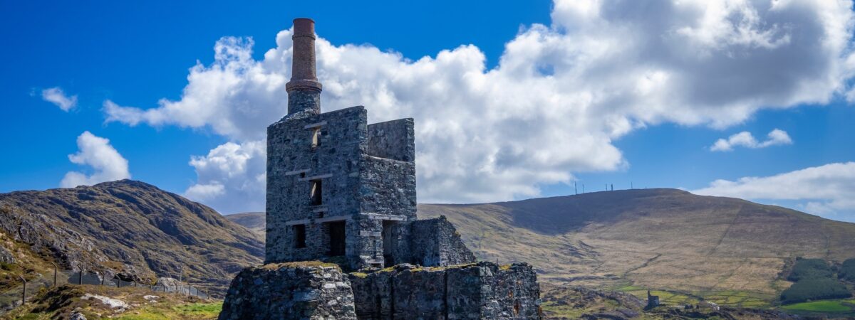 MineMine, copper · 693 yd
 Field system in CurramoreField system · 1188 yd
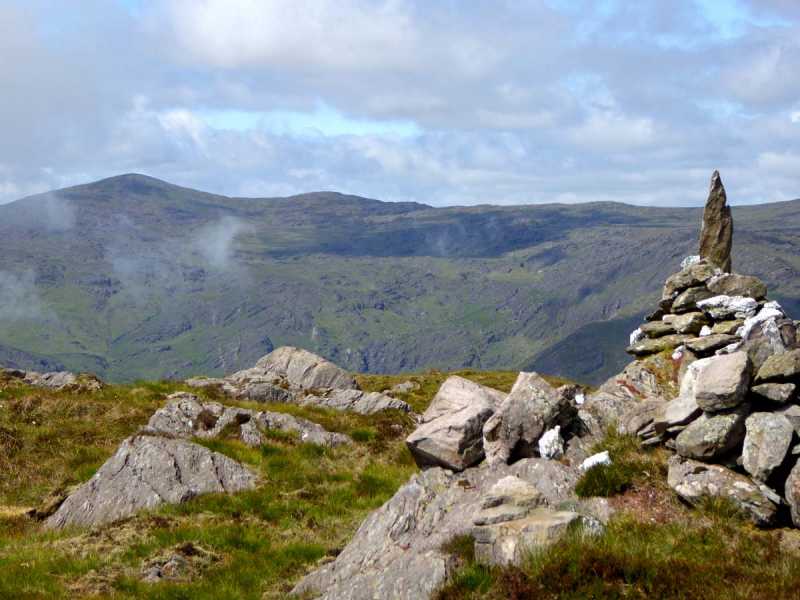 Caoinkeen South-East TopMountain / peak · 1.4 mi
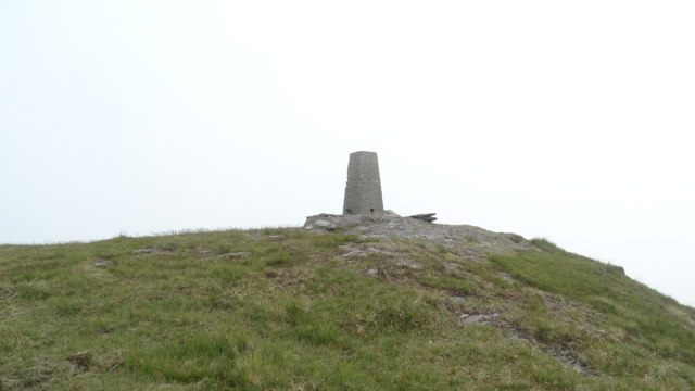 Knockboy North TopMountain / peak · 1.6 mi
 CaoinkeenCliff · 2.2 mi
 The Priests LeapViewpoint · 2.6 mi
 Carriganass CastleCastle · 3.3 mi
 Coomhola Salmon Trust (Streamscapes)Museum · 3.9 mi
 Kealkill stone circleVisitor information · 4.0 mi
 Daly's LoopWalking route · 4.2 mi
Other information
Photo: Credit not shown in the picture search · Rights wording not checked; contact us if this picture should be removed