
What is recorded here
Knockboy Mountain still holds a small rectangular hut on a sheltered terrace, its low stone walls poking through shallow bog like a forgotten breath. The site may have served as a booley, giving people a temporary shelter above the rough grazing during summer months. Nearby enclosure and copper mine remain within a short walk, linking the humble dwelling to wider human activity on the rugged slopes.
In rough grazing, on a sheltered terrace on the rugged SE-facing slopes of Knockboy Mountain. The remains of a rectangular hut site (4m N-S; 1.6m E-W) defined by the lower courses of a stone wall (T 0.5m; H 0.25m) which protrudes above the surface of the shallow bog. The tops of the stones are also visible intermittently in the level interior. This possible hut site may be a booley hut. An enclosure (CO091-025001-) and a copper mine (CO091-029----) lie c. 100m to the SSE and c. 230m to the SE, respectively.
The above description is derived from 'The Archaeological Inventory of County Cork. Volume 5' (Dublin: Stationery Office, 2009).
Date of upload: 22 December 2009
The monument record does not grant public access. Check the route and ask the landowner before entering private land.
- What survives
- Recorded monument
Places near here
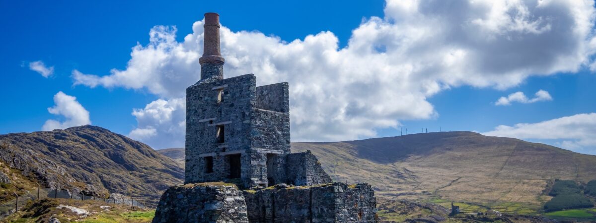 MineMine, copper · 268 yd
 Field boundary in CurramoreField boundary · 600 yd
 Field boundary in DerryclogherField boundary · 1490 yd
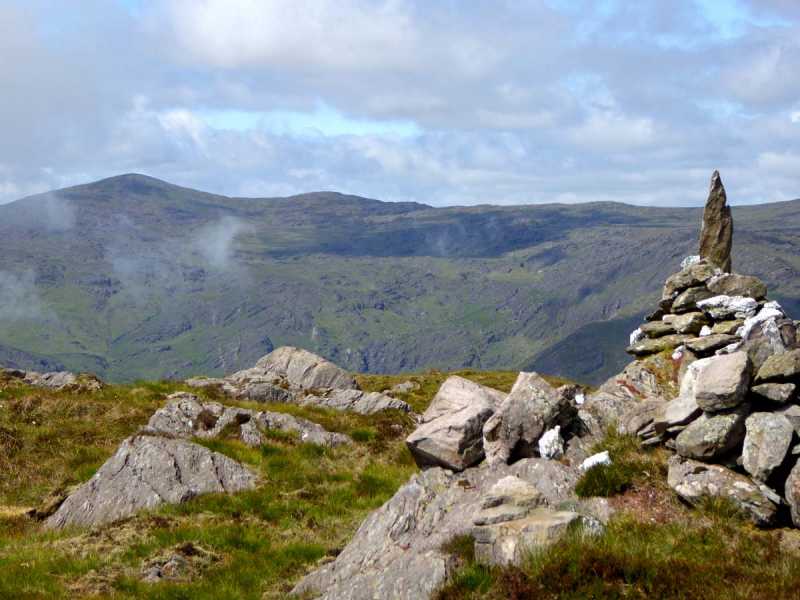 Caoinkeen South-East TopMountain / peak · 1.2 mi
 KinkeenMountain / peak · 1.7 mi
 CaoinkeenCliff · 2.0 mi
 The Priests LeapViewpoint · 2.8 mi
 Carriganass CastleCastle · 3.5 mi
 Kealkill stone circleVisitor information · 4.2 mi
 Coomhola Salmon Trust (Streamscapes)Museum · 4.2 mi
 Daly's LoopWalking route · 4.5 mi
Other information
Photo: Credit not shown in the picture search · Rights wording not checked; contact us if this picture should be removed