What is recorded here
In the NE corner of a pasture field, located in lowlying marshy ground. This fulacht fia was discovered in 2002 during archaeological assessment (02E0522) on the Ballyhaunis Water Supply Augmentation Scheme. The fulacht fia is evident as a crescent-shaped mound (12m E-W; 11m N-S; H 1m). It lay outside the pipeline wayleave was not impinged on by the scheme (Guinan 2014, 6).
Compiled by: Jane O'Shaughnessy
Date of upload: 18 April 2016
The monument record does not grant public access. Check the route and ask the landowner before entering private land.
- What survives
- Recorded monument
Places near here
 IndicatedEnclosure · 1136 yd
 Enclosure in KilmanninEnclosure · 1375 yd
 Ballyhaunis Railway Stationbuilding misc · 1.1 mi
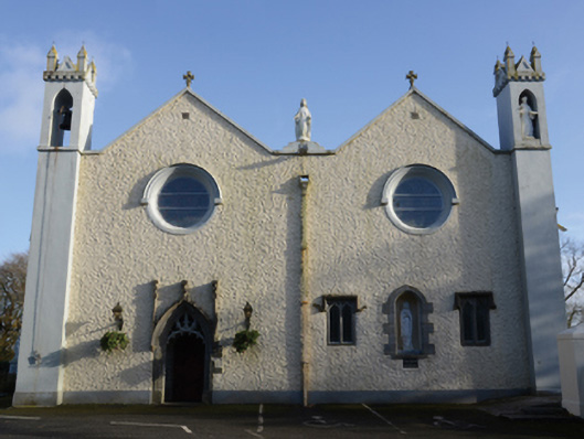 Saint Mary's Catholic Churchchurch/chapel · 1.1 mi
 Rath Castle in ruinsCastle, tower house · 5.5 mi
 CastleCastle, unclassified · 6.0 mi
 East Mayo Brigade MonumentMemorial · 7.4 mi
 Oak WoodForest · 11 mi
 Thorn CaveCave · 13 mi
 Site of Killomaine Grave YardArchaeological place · 15 mi
 European ashEuropean ash · 17 mi
 Crow IslandIslet · 17 mi