What is recorded here
In pasture, prominently sited on a hillock with a steep slope to SE–S. A circular enclosure (diam. c. 35m) is shown on the 1838 OS 6-inch map; it is not shown on later map editions. It is remembered in local tradition as a 'fort'. There is no visible trace at ground level. A house and garden now overlie the enclosure.
From the National Monuments Service (Archaeological Survey of Ireland) record MA093-030
This remains an important historical record, but the official description says the monument is no longer visible or has been destroyed. The monument record does not grant public access. Check the route and ask the landowner before entering private land.
- What survives
- No visible remains or recorded as destroyed
Places near here
Photo credits
- National Inventory of Architectural Heritage
- Mike Searle, Geograph · CC BY-SA 2.0
- David Purchase, Geograph · Creative Commons Attribution-ShareAlike 2.0
- Paul Cowan, Wikimedia Commons · CC BY-SA 2.0
- Willow, Wikimedia Commons · CC BY 2.5
- Andreas F. Borchert, Wikimedia Commons · CC BY-SA 4.0
- Jon Sullivan, Wikimedia Commons · CC0
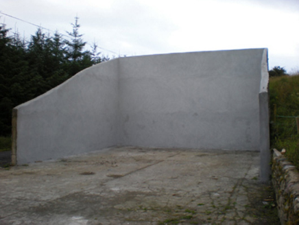 handball alley1.5 mi
 Ballyhaunis Railway StationStore/warehouse · 1.7 mi
 Ballyhaunis Railway StationFoot bridge · 1.7 mi
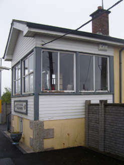 Ballyhaunis Railway StationSignal box · 1.7 mi
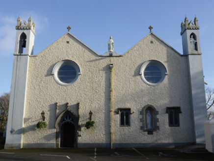 Saint Mary's Catholic ChurchChurch/chapel · 1.7 mi
 IndicatedHouse, fortified house · 2.6 mi
 CastleCastle, unclassified · 2.6 mi
 Grave YardGraveyard · 4.7 mi
 Knock ShrineHeritage attraction · 7.2 mi
 European ash18 mi
 Cloigtheach (Round Tower)Round tower · 18 mi
 Caves of KeshCave · 22 mi
More archaeology and monuments in County Mayo · All of County Mayo
What do you know about this place?