What is recorded here
Melt butter in a brass pot set in a sand bath, heat the sand with fire until it bites, pour the butter over bread and eat it with a knife. Fulacht fia in Busherstown is no longer visible because the road took the field, but the trough and mound still lie beneath the surface. The ancient people who heated water there understood that heat must touch the thing being changed.
Excavated in advance of construction of the N9/N10 Kilcullen-Waterford Road (Excavation Licence number E2584). A burnt mound (14.5m E/W by 12m; D 0.3) a large trough (L 3.5m; Wth 2m; D 0.37) and a number of pits and stakeholes were uncovered. (Richardson A. 2009, 41; Breen G, 2009)
References:
Breen G. 2009 N9/N10 Kilcullen to Waterford Scheme: Kilcullen to Powerstown. Archaeological Services Contract No. 4 - Resolution, Prumpelstown to Powerstown. Final Report on archaeological investigations at site E2584, in the townland of Busherstown, Co. Carlow. Unpublished report, Headland Archaeology (Ireland) Ltd., Cork
Richardson A. (2009) 'Busherstown Burnt-mound trough, Bronze Age burial pit, prehistoric activity' in I. Bennett (ed.), Excavations 2006: summary accounts of archaeological excavations in Ireland, 41 (168). Bray. Wordwell
Compiled by: Claire Breen
Date of upload: 10 November 2010
The monument record does not grant public access. Check the route and ask the landowner before entering private land.
- What survives
- Recorded monument
Places near here
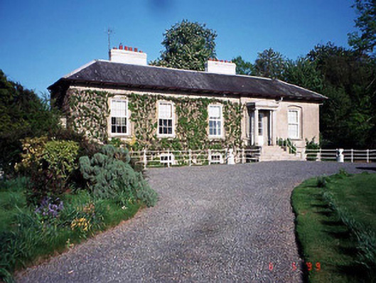 Bennekerry Lodgehouse · 380 yd
 Enclosure in BennekerryEnclosure · 949 yd
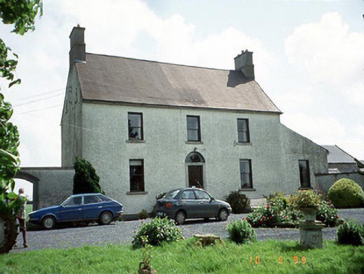 Busherstown Housefarm house · 966 yd
 EnclosureEnclosure, large enclosure · 1018 yd
 Graigue Castle in ruinsCastle, unclassified · 1147 yd
 Site of CastleCastle, unclassified · 1.1 mi
 Brownshill Portal TombVisitor information · 1.8 mi
 Pedunculate OakPedunculate Oak · 2.2 mi
 Kilmurry Church (in ruins), GraveyardChurch · 3.0 mi
 Cork oakCork oak · 3.0 mi
 Duckett's GroveHeritage attraction · 3.2 mi
 Church (in ruins), GraveyardChurch · 4.0 mi