
What is recorded here
On a ridge overlooking an E-W river valley immediately to the N, in tillage. A curvilinear enclosure (diam. c. 80-85m), identified as the cropmark of a fosse on satellite imagery (Google Earth satellite imagery, 8 November 2019) by Jean-Charles Caillère. A stream is indicated on the OS 6-inch map flowing N-S along the W edge of the enclosure.
See attached:
CW007-180----_01 Google Earth satellite imagery, 8 November 2019
Compiled by: Jean Farrelly
Date of upload: 4 May 2021
A large curvilinear enclosure, likely an early-medieval ringfort, situated on a ridge in Moyle Little, possibly dating to the 6th–10th centuries. No specific folklore or historical references are associated with this site.
The monument record does not grant public access. Check the route and ask the landowner before entering private land.
- What survives
- Recorded monument
Places near here
 Enclosure in Moyle BigEnclosure · 428 yd
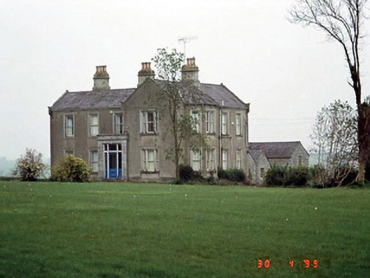 Littlemoyle Housefarm house · 555 yd
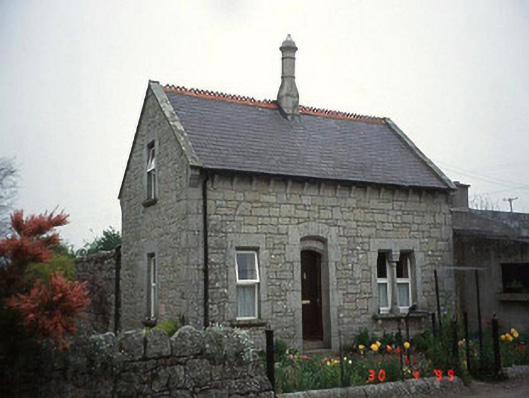 Moylegate lodge · 925 yd
 Site of CastleCastle, unclassified · 1044 yd
 Enclosure in Kellistown EastEnclosure · 1543 yd
 Graigue Castle in ruinsCastle, unclassified · 1.0 mi
 Pedunculate OakPedunculate Oak · 1.7 mi
 Brownshill Portal TombVisitor information · 2.2 mi
 Kilmurry Church (in ruins), GraveyardChurch · 2.5 mi
 Church (in ruins), GraveyardChurch · 3.4 mi
 White willowWhite willow · 3.5 mi
 Duckett's GroveHeritage attraction · 3.7 mi
Other information
Photo: Credit not shown in the picture search · Rights wording not checked; contact us if this picture should be removed