
What is recorded here
Situated at the bottom of a SE-facing slope and at the headwaters of a canalised NE-SW stream which is c. 15m to the SE. This monument was first identified in archaeological testing (E004551) of land required for the M11 Motorway (Ruttle 2014, 16), and was subsequently completely excavated (E004593) as Ballyorrill 2. A small mound of broken and burnt stone (dims 1.7m x 1.5m; T 0.13m) was close to but did not cover an oval trough (dims 1.5m x 1.1m; max. D 0.28m) that was filled with a dark grey silty clay with plentiful burnt stone beneath a layer of red/brown silty clay with iron-panning and burnt stones. No artefacts were recovered. (Ruttle 2015)
Compiled by: Michael Moore
Date of upload: 26 November 2020
The monument record does not grant public access. Check the route and ask the landowner before entering private land.
- What survives
- Recorded monument
Places near here
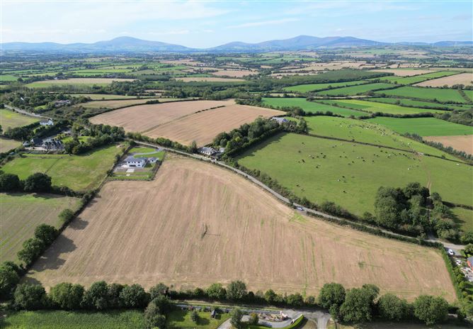
 Fulacht fia in Moyne MiddleFulacht fia · 527 yd
 Habitation site in CoolnahornaHabitation site · 836 yd
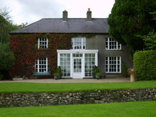 The Moynefarm house · 1388 yd
 KilnKiln, lime · 1.1 mi
 Bernard Dunne Memorial BenchMemorial · 1.9 mi
 U.N. Peace MemorialMonument · 1.9 mi
 Battle of Vinegar HillMajor battlefield · 2.1 mi
 National 1798 CentreMuseum · 2.4 mi
 Daphney CastleCastle, unclassified · 2.5 mi
 Pedunculate OakPedunculate Oak · 4.0 mi
 CastleCastle, ringwork · 4.1 mi
 European LarchEuropean Larch · 6.0 mi
Other information
Photo: Credit not shown in the picture search · Rights wording not checked; contact us if this picture should be removed