
What is recorded here
Identified in centre-line testing (E4110) in advance of the M11 Gorey to Enniscorthy road scheme and set aside for resolution as Moyne Middle 4 (Hardy et al. 2010, 117-8). It is situated on a NW-facing slope with a small canalised NE-SW stream c. 20m to the NW. It was completely excavated (E4209) by Y. Whitty when a rectangular trough (dims 2.64m NW-SE; 1.8m NE-SW; D 0.5-0.75m) was uncovered. It had a flat bottom that sloped down to the SE and a step cut in the SE side. The trough cut a pit (dims 1.6m x 1.4m; D 0.2m) on its SW side, but there was no stratigraphic relationship with two other pits (dims 3.3m N-S; 1.2m E-W; D 0.22m: 1.13m x 1.02m; D 0.33-0.4m) that were 4.1m SE and 1.5m NW of the trough. A small spread of burnt stone material (dims 3.4m N-S; 1.7m E-W; max. T 0.3m) covered the pit NW of the trough. The burnt mound (WX020-090----) is c. 50m to the SW and the fulacht fia (WX020-092----) is c. 35m to the NE. (Hardy 2012; Whitty 2013)
Compiled by: Michael Moore
Date of upload: 28 November, 2013
The monument record does not grant public access. Check the route and ask the landowner before entering private land.
- What survives
- Recorded monument
Places near here
 Fulacht fia in BallyorrillFulacht fia · 527 yd
 Enclosure in GreenvilleEnclosure · 1344 yd
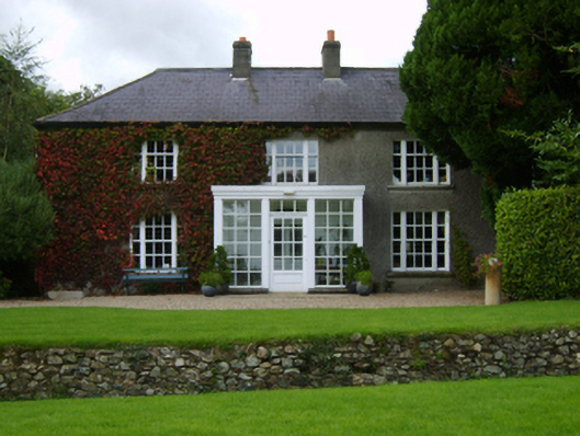 The Moynefarm house · 1601 yd
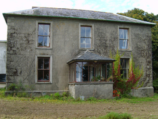 Hollyfort Housefarm house · 1.1 mi
 Bernard Dunne Memorial BenchMemorial · 1.7 mi
 U.N. Peace MemorialMonument · 1.8 mi
 Battle of Vinegar HillMajor battlefield · 2.0 mi
 Battle of Vinegar Hill, 1798Monument · 2.1 mi
 Vinegar HillMountain / peak · 2.2 mi
 Daphney CastleCastle, unclassified · 2.2 mi
 National 1798 CentreMuseum · 2.3 mi
 Pedunculate OakPedunculate Oak · 3.9 mi
Other information
Photo: Credit not shown in the picture search · Rights wording not checked; contact us if this picture should be removed