What is recorded here
In rough, damp rush-grown pasture. Ground rises gently to S and falls away to N towards a large drain/stream. There is a low hillock a few meters to SE.
Sod-covered, kidney-shaped mound (13m N–S; 8.3m E–W; H 0.45m at S, 0.55m at N) with a pronounced central depression extending E−W across the width of the mound. The depression is deepest at W, possibly indicating the location of a trough. Underlying a covering layer of sod and brown soil, the mound is composed of characteristic concentrations of heat-shattered stone in a charcoal-rich matrix. Narrow linear depressions on a NE−SW axis, possibly cultivation ridges, traverse the top of the mound. There is a field drain 5m to E. Another fulacht fia (MA03-068----) c. 200m to E.
Compiled by: Jane O’Shaughnessy
Date of upload: 23 November 2022
The monument record does not grant public access. Check the route and ask the landowner before entering private land.
- What survives
- Recorded monument
Places near here
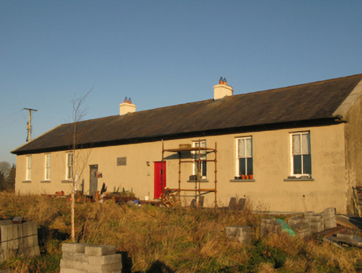 Saint Joseph's National Schoolschool · 1.2 mi
 Enclosure in DevlisEnclosure · 1.3 mi
 Enclosure in Garraun (costello By.)Enclosure · 1.4 mi
 Ballyhaunis Railway Stationbuilding misc · 1.5 mi
 CastleCastle, unclassified · 4.5 mi
 Rath Castle in ruinsCastle, tower house · 7.5 mi
 East Mayo Brigade MonumentMemorial · 9.4 mi
 Oak WoodForest · 10 mi
 European ashEuropean ash · 15 mi
 Mass RockNamed rock · 17 mi
 bridgebridge · 1.5 mi
 post boxpost box · 1.6 mi